- This page contains affiliate links. Purchases made through them may earn us a small fee.
Getting to Hot Springs National Park
Driving to Hot Springs
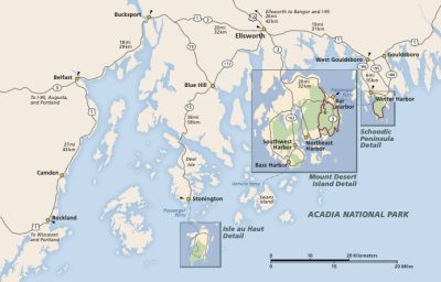
The park is located in the historic district of the city of Hot Springs, Arkansas. Busy city streets mix with historic bathhouses and the hot springs. AR-7 passes through the heart of the area. It can be reached directly off of I-30 from the south, or via US-70 west from Benton or US-270 west from Malvern. The roads in the area can be confusing, so a detailed map is useful.
If you’d like to plot directions from your location use the interactive map below. The marker shows the location of the Fordyce Bathhouse, which serves as the visitor center for Hot Springs National Park.
Flying to Hot Springs
Below you will find a list of airports most convenient for a trip to Hot Springs, listed in order of distance. For each airport we provide direct links to browse available flights and cars. For price searches, simply enter your origin and dates.
Bill and Hillary Clinton National Airport (LIT)
Located in Little Rock, Arkansas, 55 miles by car to Hot Springs
Little Rock flight schedule and price search
Little Rock available rental cars and price search
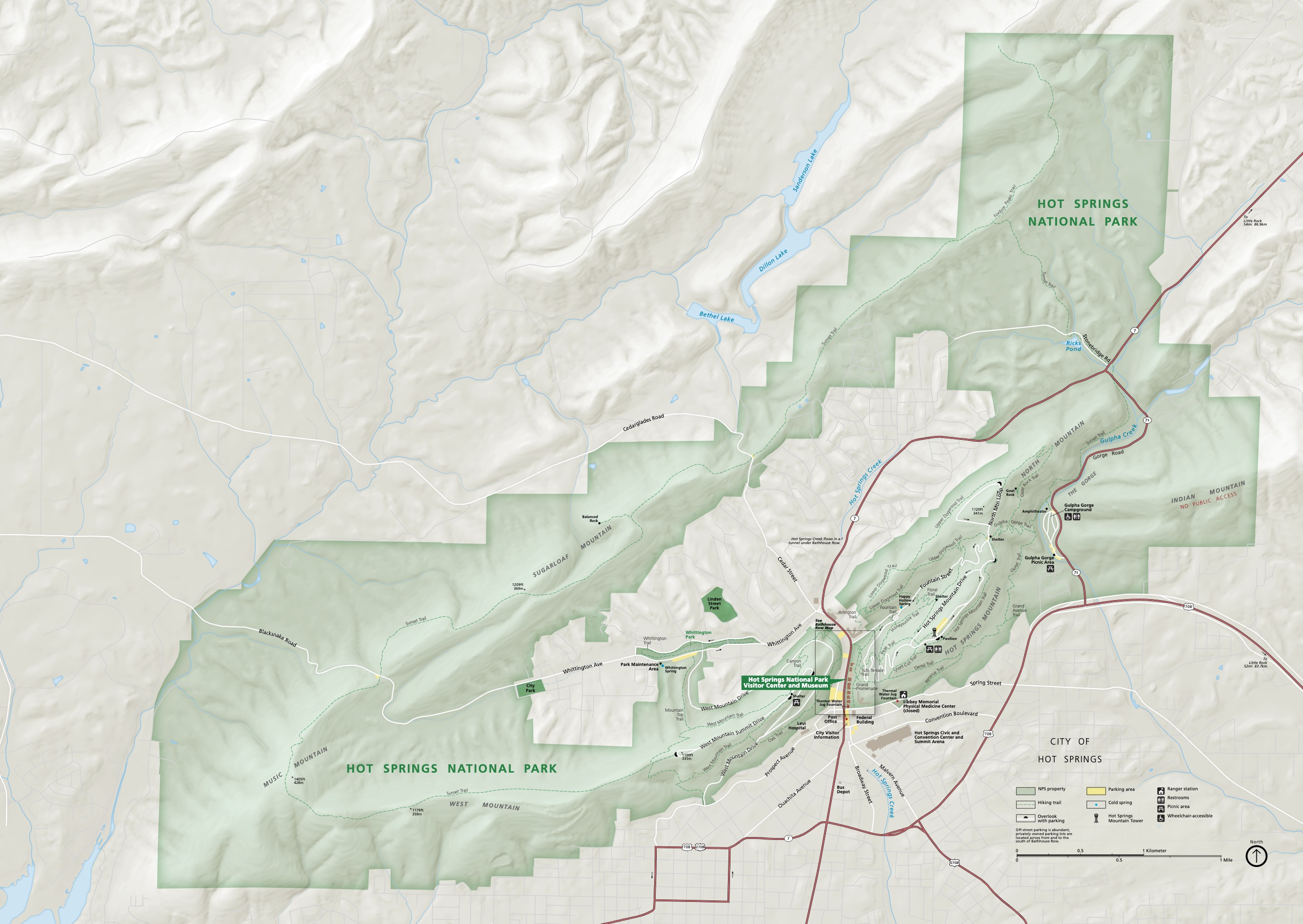
Official Park Map
Below is the official park map provided by the National Park Service. You can view either the original PDF file or a simple JPEG image file (some of these files can be quite large).