- This page contains affiliate links. Purchases made through them may earn us a small fee.
- As an Amazon Associate we earn from qualifying purchases.
Wrangell-St. Elias National Park – Trails Illustrated
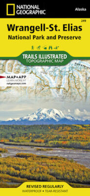
This is National Geographic’s trail map of Wrangell-St. Elias National Park, part of the well-known Trails Illustrated series. These durable and detailed maps are the gold standard for trail maps of the natural areas all over the United States. Note that in this case, Wrangell-St. Elias has very little in the way of real trails. This is more useful as a route-finding and topographic aid, and is essential for backcountry travel.
Available at Amazon