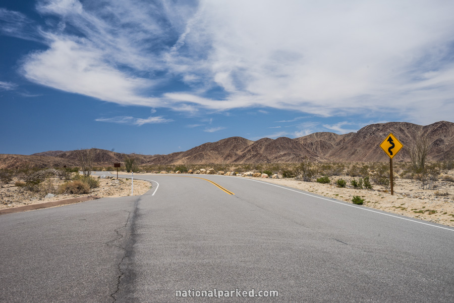
Park Boulevard (Part 1)
Park Boulevard connects the North Entrance near the town of Twentynine Palms to the West Entrance near the town of Joshua Tree. We cover this road in two sections. Part 1 runs from the North Entrance to the Oyster Bar parking area. It is covered below. For Part 2, from the Oyster Bar parking area to the West Entrance, see Park Boulevard Part 2.
Mile 0 – North Entrance
After following Utah Trail for 3.5 miles south from the town of Twentynine Palms, the entrance sign welcomes you to Joshua Tree National Park. The road changes names to Park Boulevard at this point. 0.1 mile beyond the sign is the entrance station. The park entrance fee must be paid or a valid pass shown.
Mile 4.6 – Pinto Basin Road
Pinto Basin Road is on the left. This road leads 38.9 miles to the South Entrance, through a very remote area. Interstate 10 lies a few miles beyond the boundary.
Mile 6.8 – Live Oak & Split Rock Picnic Area
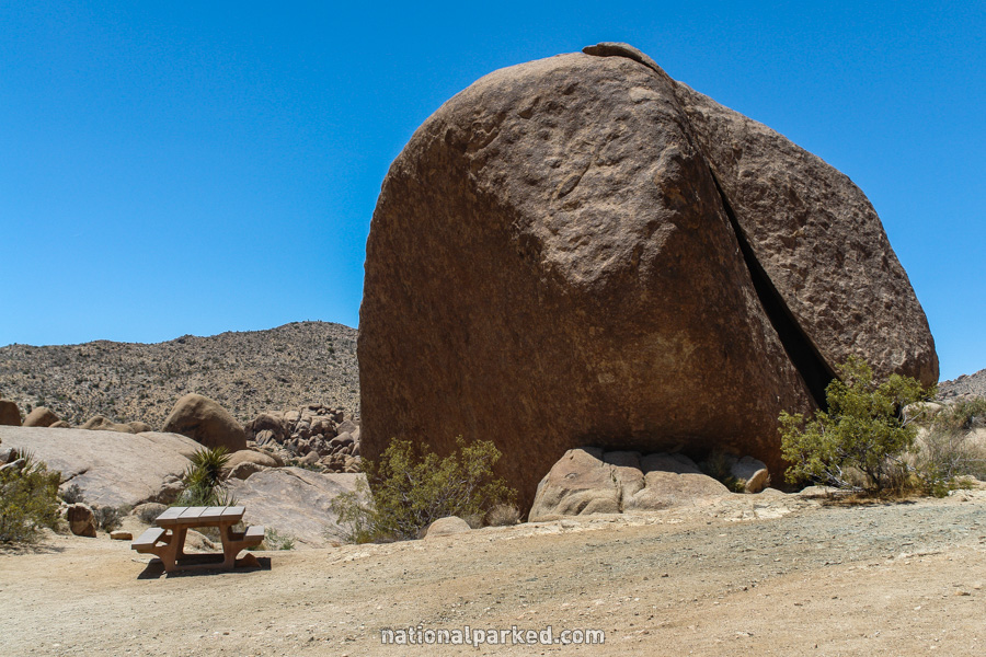
Short side roads lead both directions to two picnic areas, Live Oak and Split Rock. The latter is pictured to the left, with its namesake formation.
Mile 7.5 – Skull Rock
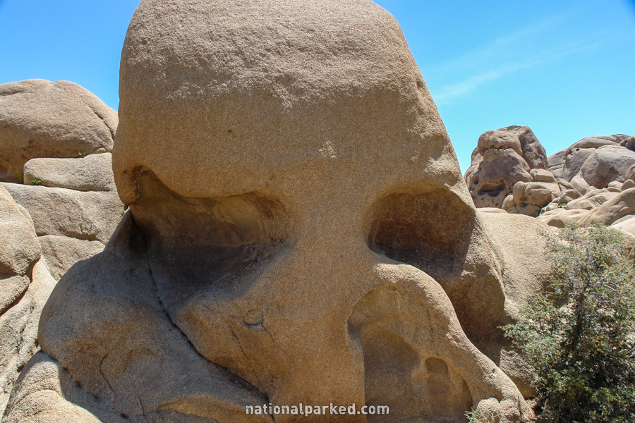
Skull Rock is visible on the left. The Skull Rock Nature Trail begins from here as well. This is one of the most well-known features in the park. Giant boulders and rock jumbles are all over this area of the park, but this one resembles a human skull.
Mile 8.1 – Jumbo Rocks Campground
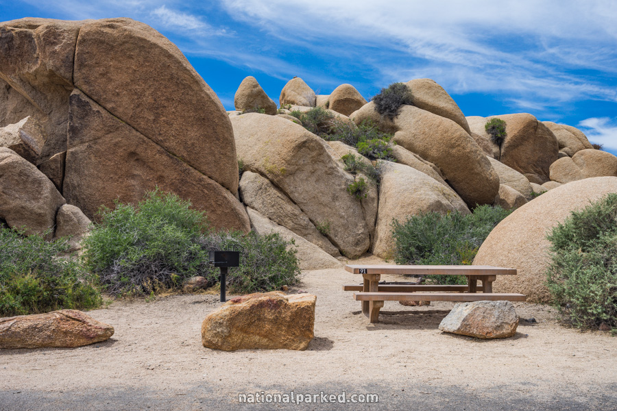
The road to Jumbo Rocks Campground is on the left. This is a very popular campground. For more information on all the Joshua Tree campgrounds, see Joshua Tree Camping.
Mile 9.7 – Geology Tour Road
Geology Tour Road is on the left. This road is usually passable to cars for the first few miles, but requires four wheel drive high clearance to complete. Check at a visitor center first.
Mile 10.4 – Big Horn Pass Road
The road passes by Big Horn Pass Road.
Mile 12.9 – Ryan Mountain Trailhead
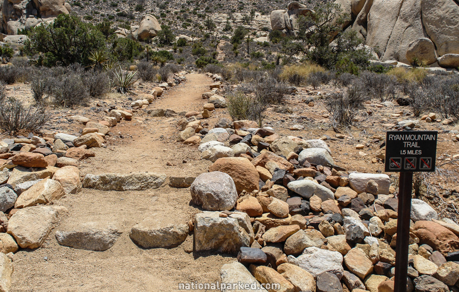
Parking for the Ryan Mountain Trailhead is on the left. This trail leads over a mile to the summit of Ryan Mountain. It is of moderate difficulty and should not be tried in the heat of the day.
Mile 13.6 – Hall of Horrors
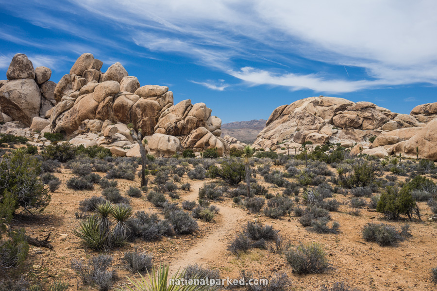
The road passes by a parking area for the Hall of Horrors climbing area. The rocky area is also covered with joshua trees, making it a nice scenic stop as well.
Mile 14.1 – Oyster Bar
The road passes by another parking area, this for the Oyster Bar climbing area. Besides the climbing opportunities, this is another good scenic stop.
Park Boulevard Continues On
For Part 2, from the Oyster Bar parking area to the West Entrance, see Park Boulevard Part 2.