The Roads of Joshua Tree
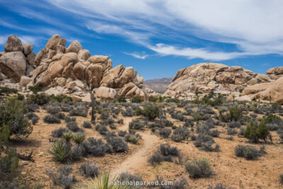
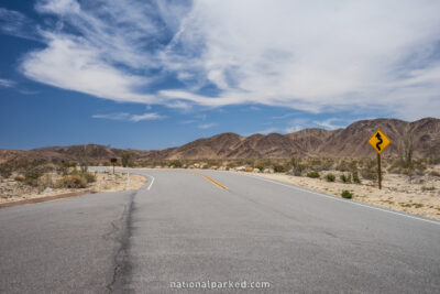
Most of Joshua Tree National Park is remote, inhospitable, and beautiful. Park Boulevard connects the North Entrance near the town of Twentynine Palms to the West Entrance near the town of Joshua Tree. Pinto Basin Road leaves Park Boulevard 4.6 miles from the North Entrance and heads south 36 miles to the South Entrance. Interstate 10 is only one mile from this entrance, but nothing else is. The southern part of the park is very removed from civilization. Several unpaved roads also cross the park in various places, but they are of varying quality and are usually reserved for high clearance four wheel drive vehicles only. They are not covered here.
Start Point: Start Point: Mile 0 – North Entrance
End Point: Mile 14.1 – Oyster Bar
Start Point: Mile 14.2 – Oyster Bar
End Point: Mile 25.6 – West Entrance
Start Point: Mile 0 – South Entrance
End Point: Mile 35.9 – Park Boulevard