- This page contains affiliate links. Purchases made through them may earn us a small fee.
Getting to Saguaro National Park
Driving to Saguaro
The two districts of the park are located just to the east and west of the major city of Tucson. To reach the Rincon District from I-10, take exit #275 (Houghton Road) and drive 9.5 miles north, turn right on Old Spanish Trail, and drive 3 miles to the park entrance. To reach the Tucson District from I-10, take exit #242, drive 5 miles west on Avra Valley Road, turn left on Sandario Road, drive 9 miles south on Sandario Road, turn left on Kinney Road, and drive 2 miles to the visitor center.
If you’d like to plot directions from your location use the interactive map below. The marker shows the location of the Red Hills Visitor Center in Saguaro.
Flying to Saguaro
Below you will find a list of airports most convenient for a trip to Saguaro, listed in order of distance. For each airport we provide direct links to browse available flights and cars. For price searches, simply enter your origin and dates.
Tucson International Airport (TUS)
Located in Tucson, Arizona, 16 miles by car to Saguaro
Tucson flight schedule and price search
Tucson available rental cars and price search
Phoenix Sky Harbor International Airport (PHX)
Located in Phoenix, Arizona, 130 miles by car to Saguaro
Phoenix flight schedule and price search
Phoenix available rental cars and price search
El Paso International Airport (ELP)
Located in El Paso, Texas, 318 miles by car to Saguaro
El Paso flight schedule and price search
El Paso available rental cars and price search
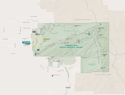
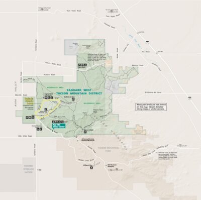
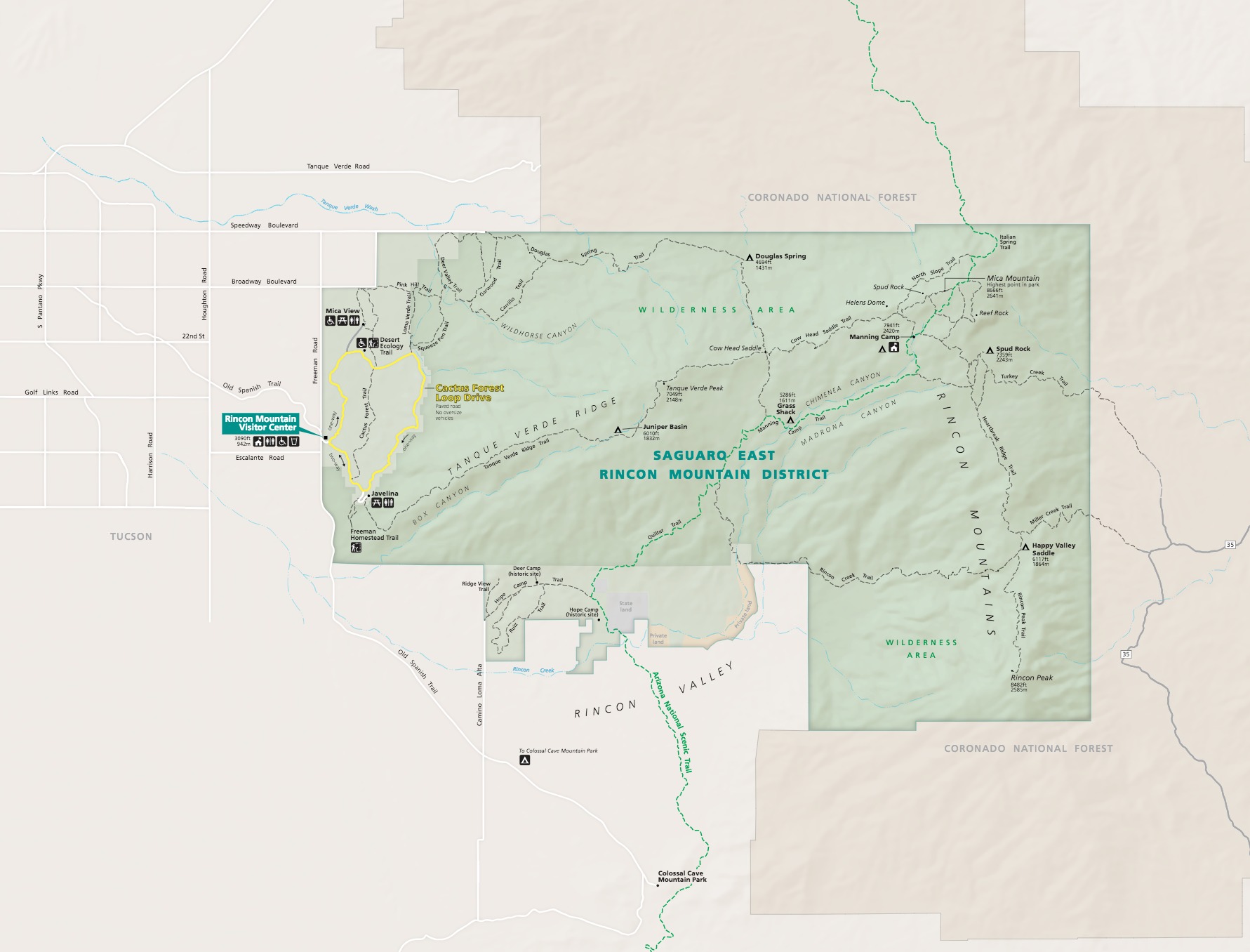
Official Park Maps
Below are the official park maps provided by the National Park Service. You can view either the original PDF file or a simple JPEG image file (some of these files can be quite large). Note that while these maps are useful for general navigation around the park, if you plan to do any hiking, you should really have a proper Saguaro Trail Map.