- This page contains affiliate links. Purchases made through them may earn us a small fee.
Getting to Petrified Forest National Park
Driving to Petrified Forest
The main approach to the park is via I-40. From the west, take exit 285 into Holbrook to AZ-180 south to the park’s South Entrance. From the east, take exit 311, which provides nearly direct access to the park.
If you’d like to plot directions from your location use the interactive map below. The marker shows the location of the Painted Desert Visitor Center in Petrified Forest.
Flying to Petrified Forest
Below you will find a list of airports most convenient for a trip to Petrified Forest, listed in order of distance. For each airport we provide direct links to browse available flights and cars. For price searches, simply enter your origin and dates.
Flagstaff Pulliam Airport (FLG)
Located in Flagstaff, Arizona, 120 miles by car to Petrified Forest
Flagstaff flight schedule and price search
Flagstaff available rental cars and price search
Phoenix Sky Harbor International Airport (PHX)
Located in Phoenix, Arizona, 206 miles by car to Petrified Forest
Phoenix flight schedule and price search
Phoenix available rental cars and price search
Albuquerque International Sunport (ABQ)
Located in Albuquerque, New Mexico, 212 miles by car to Petrified Forest
Albuquerque flight schedule and price search
Albuquerque available rental cars and price search
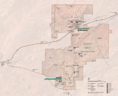
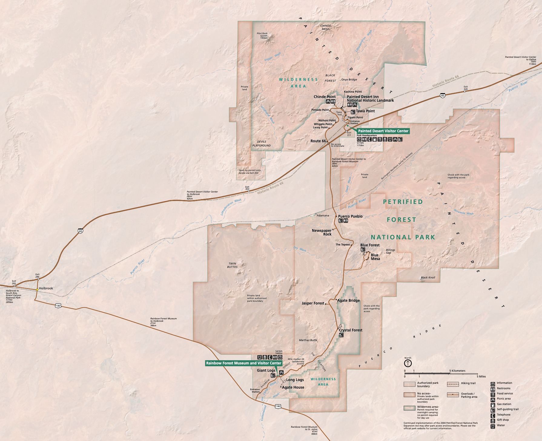
Official Park Map
Below is the official park map provided by the National Park Service. You can view either the original PDF file or a simple JPEG image file (some of these files can be quite large).