The Roads of Olympic
Olympic National Park is a huge, mostly untouched wilderness. While US-101 loops around the park (and through it in the Lake Crescent and Kalaloch areas), only a few spur roads head into the park. Even these roads only provide access to the relatively small developed areas of the park. Still, within a few days it is possible to see an incredible variety of ecosystems, from alpine tundra to temperate rain forest to rugged ocean shores. Olympic is a world class destination for both the casual tourist (with some time) and those seeking true wilderness experiences.
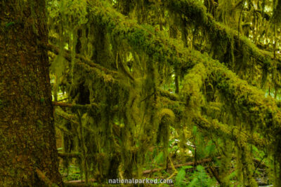
Start Point: Mile 0 – Hoh Entrance
End Point: Mile 6.4 – Road end at Hoh Ranger Station
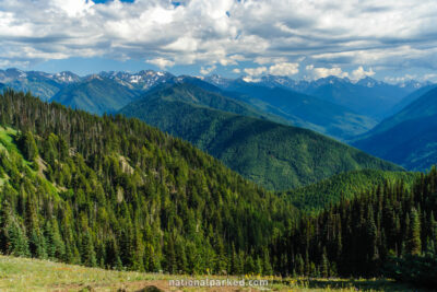
Start Point: Mile 0 – Heart o’ the Hills Entrance
End Point: Mile 19.3 – Hurricane Hill parking area
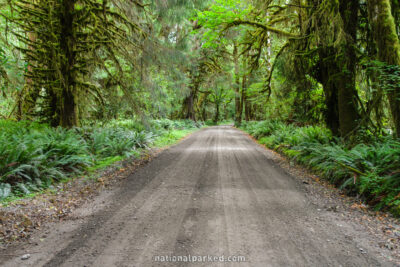
Start Point: Mile 0 – Quinault Entrance off US-101
End Point: Mile 15.2 – Olympic National Forest boundary
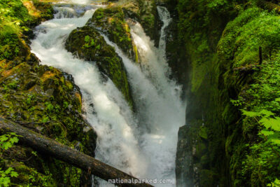
Start Point: Mile 0 – Sol Duc Entrance
End Point: Mile 13.8 – Sol Duc Trailhead