Kings Canyon Scenic Drive (Part 3)
The Kings Canyon Scenic Drive (CA-180) runs from the Big Stump Entrance of Kings Canyon to its end at an area appropriately known as Road’s End. We cover this road in three sections. Part 3 runs from the Kings Canyon National Park boundary to Road’s End. It is covered below. For the previous section, from the national forest boundary to the national park boundary, see Kings Canyon Scenic Drive Part 2.
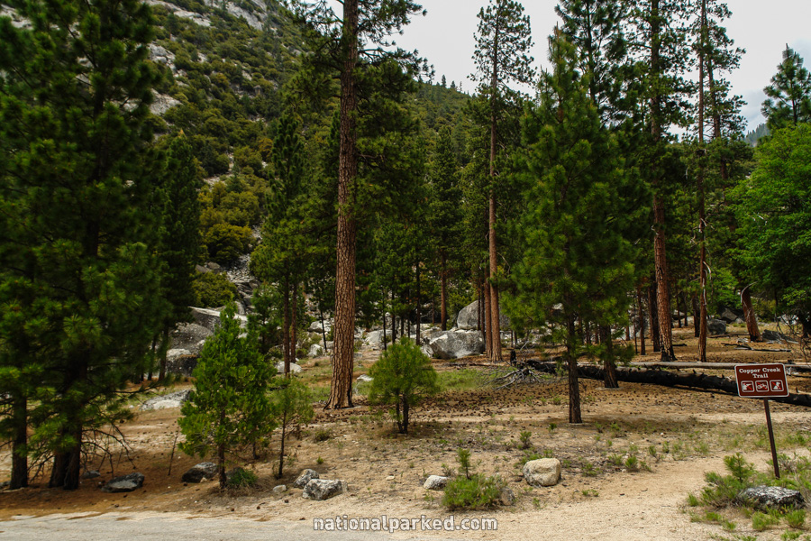
Mile 31.1 – Lewis Creek Trailhead
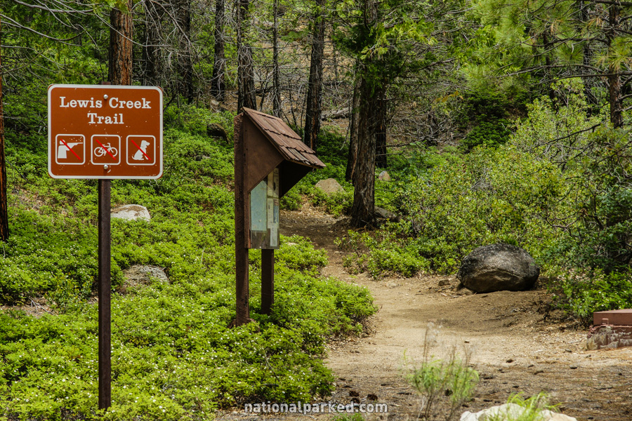
The road passes by the Lewis Creek Trailhead.
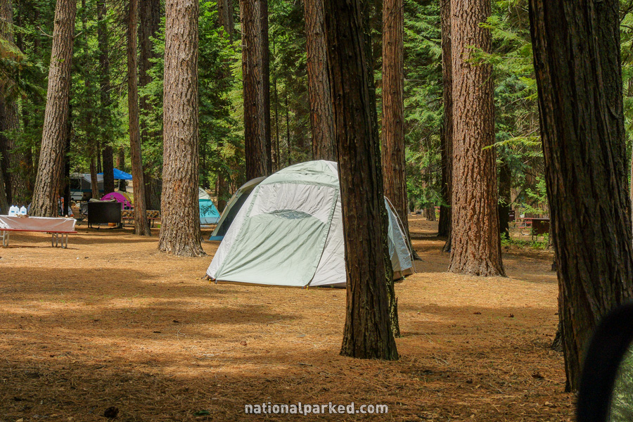
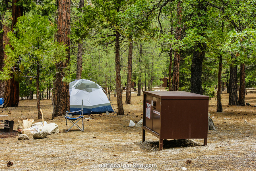
Mile 31.9 – Sheep Creek Campground
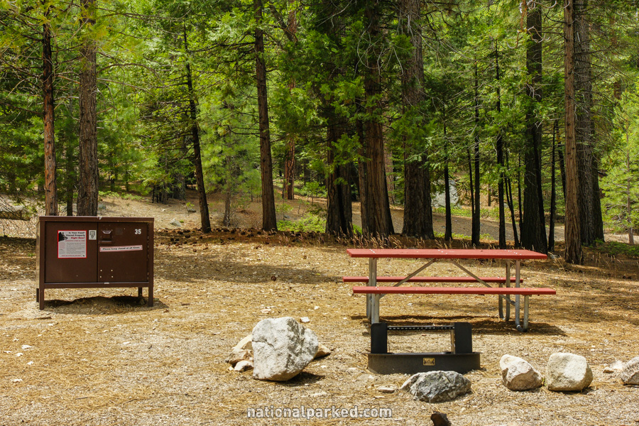
The Sheep Creek Campground, the first of several campgrounds in rapid succession in this area, is on the left. For more on all the campgrounds in these parks, see Sequoia & Kings Canyon Camping.
Mile 32.5 – Sentinel Campground & Cedar Village
The access road to Sentinel Campground and Cedar Village is on the left. See Sequoia & Kings Canyon Lodging for more information on Cedar Village.
Mile 32.9 – Canyon View Campground
The Canyon View Campground is on the left.
Mile 33.2 – Moraine Campground
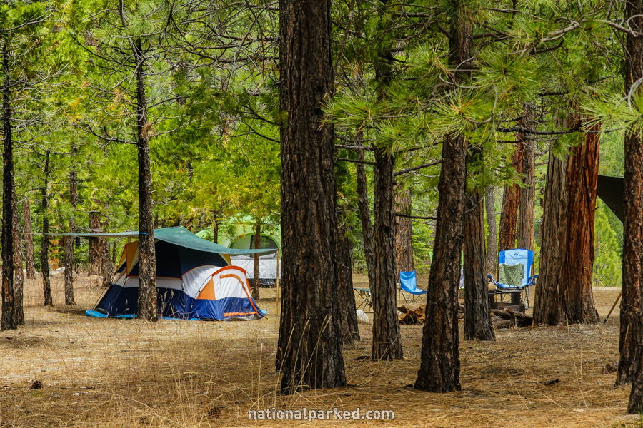
Moraine Campground, the last of the bunch in this area, is on the left.
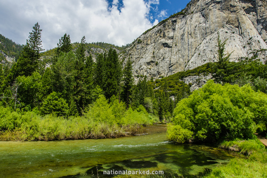
Mile 33.5 – Kings Canyon views
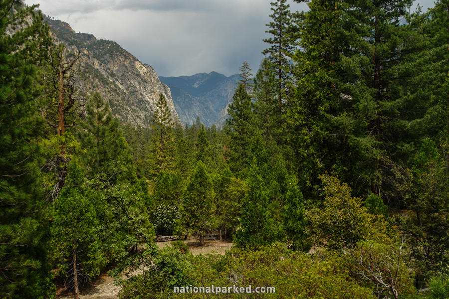
A pulloff on the left provides a great view of Kings Canyon.
Mile 34.6 – Knapp’s Cabin
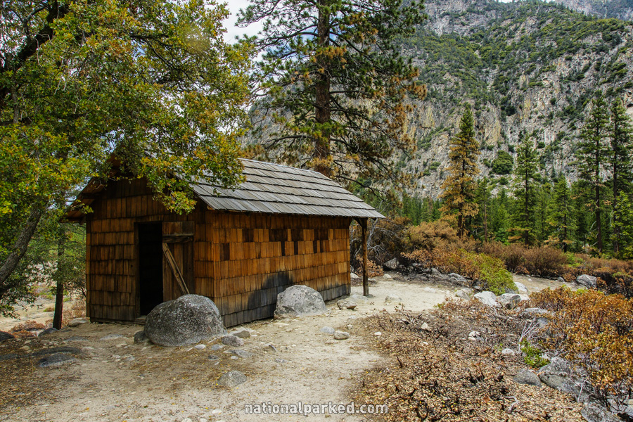
The historic Knapp’s Cabin is on the left. This was used as a storage shed by George O. Knapp during his many expeditions here in the 1920s.
Mile 35.5 – Roaring River Falls
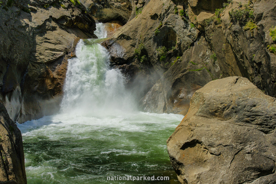
A parking area on the right provides access to the short walk to Roaring River Falls. This is a beautiful (and loud) waterfall in all but the lowest of water flows.
Mile 37.1 – Zumwalt Meadow
On the right is the parking area for the Zumwalt Meadow Trail. This is a nice and easy hike through the beautiful Zumwalt Meadow area, with great views of the Roaring River as well. See Sequoia & Kings Canyon Hiking for more information.
Mile 38.1 – Road’s End
The road ends at, appropriately, Road’s End. The parking area at the end of the road is for overnight backpackers only. The road turns around in a loop and heads back up canyon.