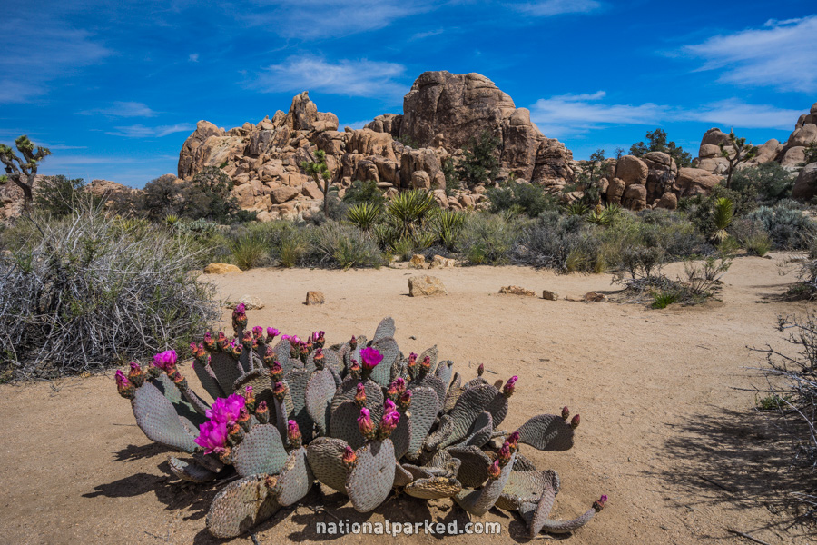
Hiking Trails in Joshua Tree
Much of the hiking in Joshua Tree National Park is a backcountry affair, over general routes more than official hiking trails. However, there are also a good number of nature trails and shorter hikes on actual trails. Do not underestimate the power of the desert heat. From about May through September, temperatures commonly reach the century mark. Take water on hikes of any length, even the short loop trails included below.
Hiking distances given below are total, roundtrip distances unless otherwise stated. Difficulties are only a general guideline, for an adult in good condition, and do not take into account trail length. We strongly recommend you also have a good Joshua Tree Trail Map with you.
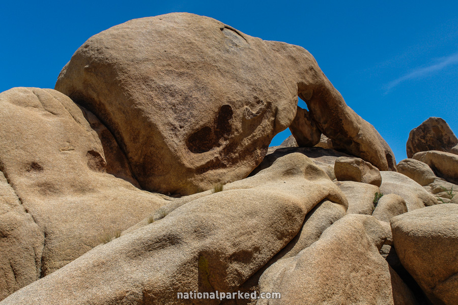
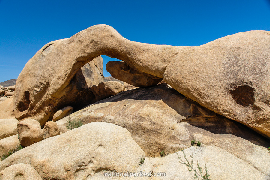
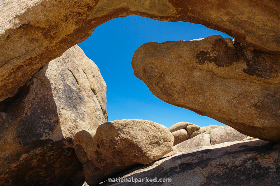
Arch Rock
The Hike: This is a short and very easy nature trail that leads to an interesting arch formation in the rock. Some of the views below require a bit of climbing around.
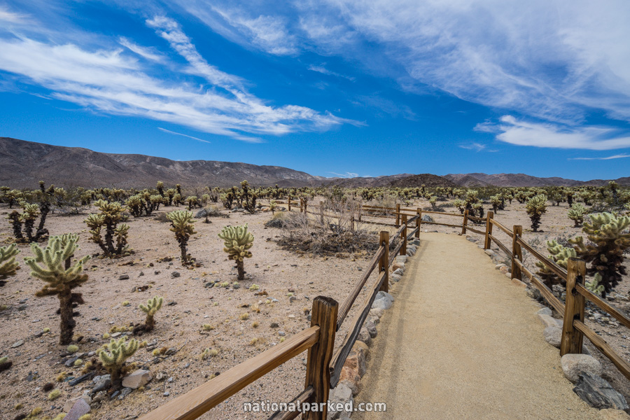
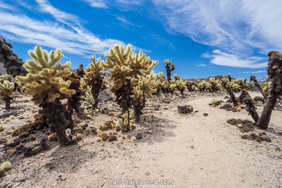
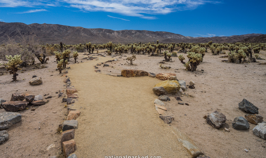
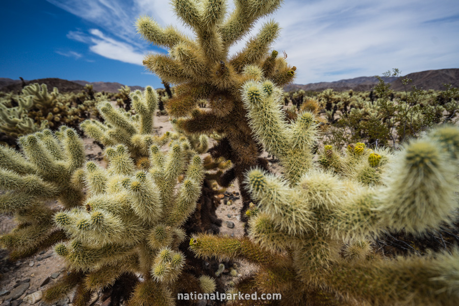
Cholla Cactus Garden
The Hike: This is a short and very easy walk into an unusually dense growth of “jumping” cholla cactus. The Pinto Mountain Range provides a dramatic backdrop.
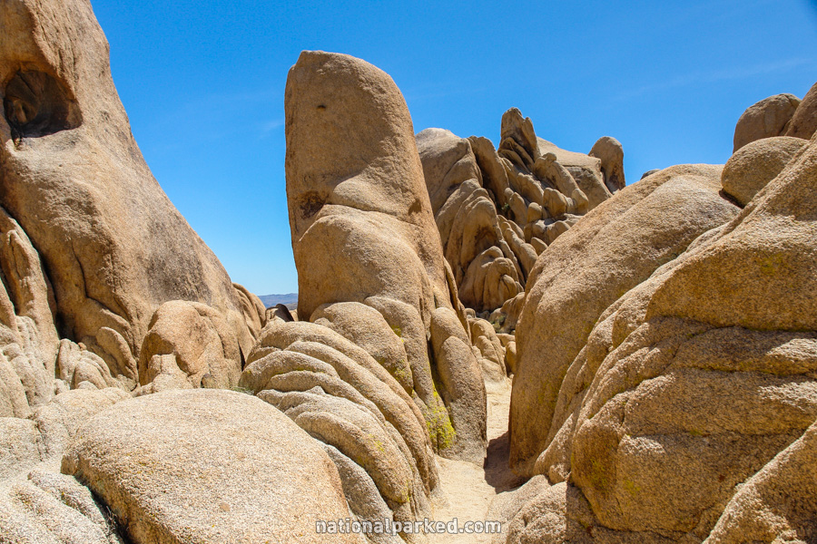
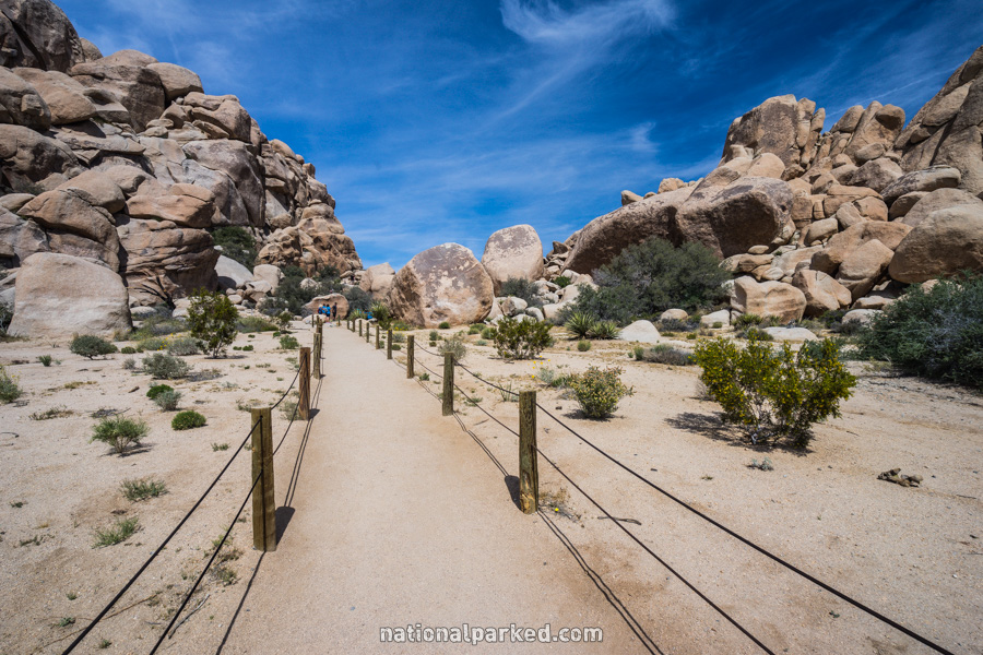
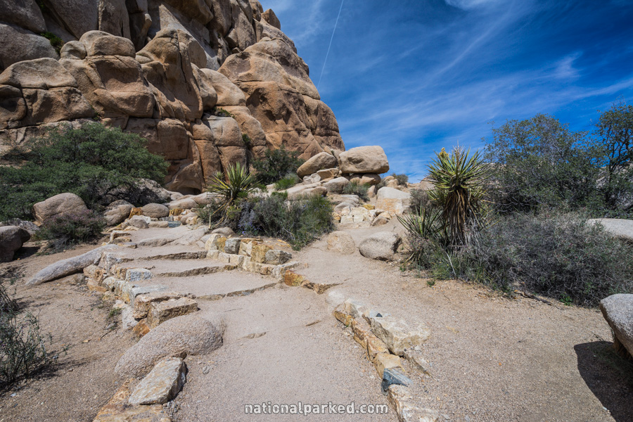
Hidden Valley Nature Trail
The Hike: This is an easy hike into a small “valley” encircled by rocks and boulders. Rock climbers can frequently be seen scaling the rocks in this area.
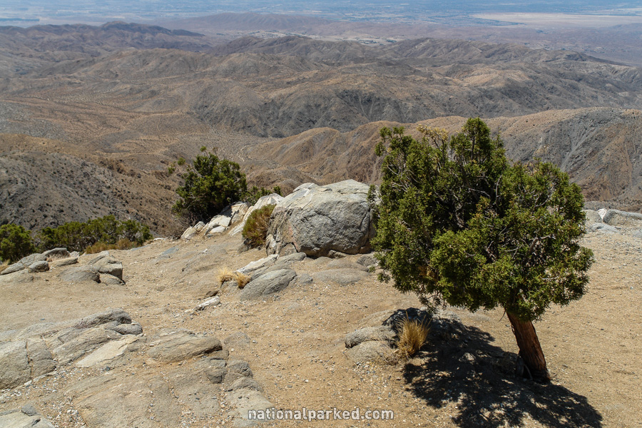
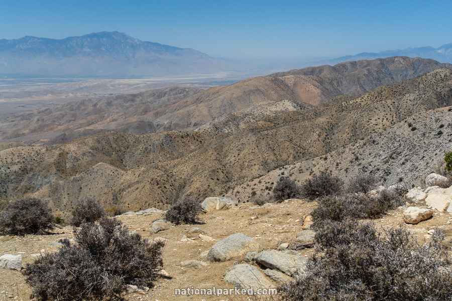
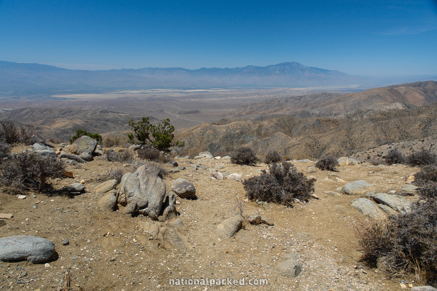
Keys View Loop
The Hike: This is the highest elevation trail in the park, and provides continuous panoramas of the surrounding area. The loop trail itself is pretty easy, with an increase in difficulty if you take the side trail climbing Inspiration Peak, but the views are worth it.