- This page contains affiliate links. Purchases made through them may earn us a small fee.
Getting to Hawaii Volcanoes National Park
Driving to Hawaii Volcanoes
Hawaii Volcanoes National Park is reached from Hilo via HI-11, a drive of about 45 minutes. The park is a little over two hours from the Kona Airport.
If you’d like to plot directions from your location use the interactive map below. The marker shows the location of the Kīlauea Visitor Center in Hawaii Volcanoes.
Flying to Hawaii Volcanoes
There are two commercial airports on the Big Island of Hawaii, with Hilo being significantly closer to the park, but also significantly smaller. The larger airport is in the well-known tourist area of Kona. Kona has a good amount of airline service direct from the mainland United States. Since visitors frequently go to more than one island on their visit, using Hawaiian Airlines to fly between islands is commonplace.
Hilo International Airport (ITO)
Located in Hilo, Hawaii, 28 miles by car to Hawaii Volcanoes
Hilo flight schedule and price search
Hilo available rental cars and price search
Kona International Airport (KOA)
Located in Kona, Hawaii, 101 miles by car to Hawaii Volcanoes
Kona flight schedule and price search
Kona available rental cars and price search
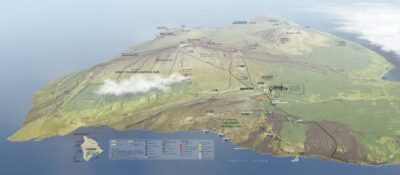
Official Park Map
Below is the official park map provided by the National Park Service. You can view either the original PDF file or a simple JPEG image file (some of these files can be quite large). Note that while this map is useful for general navigation around the park, if you plan to do any hiking, you should really have a proper Hawaii Volcanoes Trail Map.