- This page contains affiliate links. Purchases made through them may earn us a small fee.
Getting to Guadalupe Mountains National Park
Driving to Guadalupe Mountains
Guadalupe Mountains National Park’s Pine Springs area is where most visitors head. There are no towns of any size near this area. Most visitors come from the east on US-62/US-180 from Carlsbad Caverns National Park, and the city of Carlsbad, New Mexico beyond.
If you’d like to plot directions from your location use the interactive map below. The marker shows the location of the Pine Springs Visitor Center in Guadalupe Mountains.
Flying to NAME
Below you will find a list of airports most convenient for a trip to Guadalupe Mountains, listed in order of distance. For each airport we provide direct links to browse available flights and cars. For price searches, simply enter your origin and dates.
El Paso International Airport (ELP)
Located in El Paso, Texas, 105 miles by car to Guadalupe Mountains
El Paso flight schedule and price search
El Paso available rental cars and price search
Midland International Air & Space Port (MAF)
Located in Midland, Texas, 186 miles by car to Guadalupe Mountains
Midland flight schedule and price search
Midland available rental cars and price search
Albuquerque International Sunport (ABQ)
Located in Albuquerque, New Mexico, 340 miles by car to Guadalupe Mountains
Albuquerque flight schedule and price search
Albuquerque available rental cars and price search
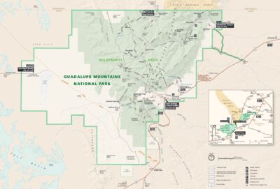
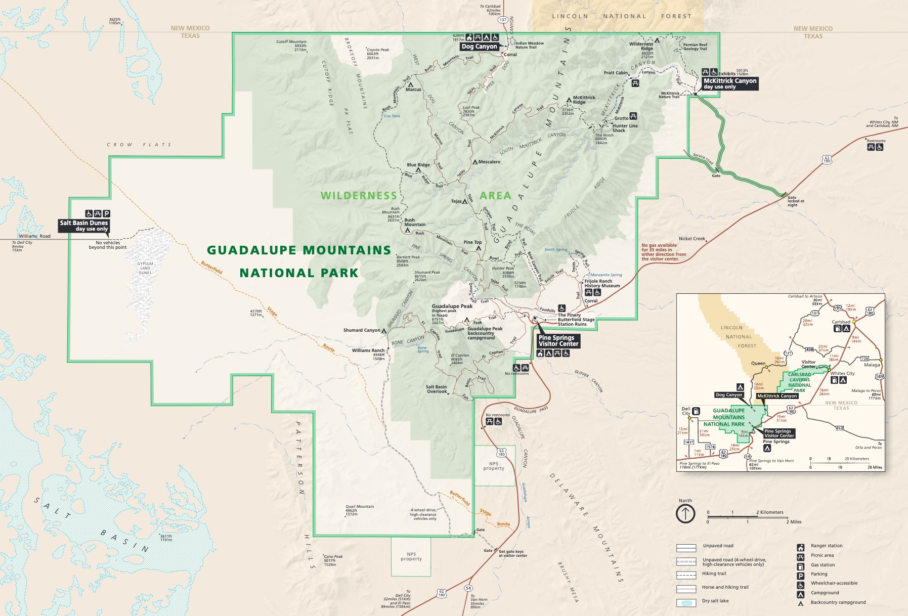
Official Park Map
Below is the official park map provided by the National Park Service. You can view either the original PDF file or a simple JPEG image file (some of these files can be quite large). Note that while this map is useful for general navigation around the park, if you plan to do any hiking, you should really have a proper Guadalupe Mountains Trail Map.