Newfound Gap Road (Part 2)
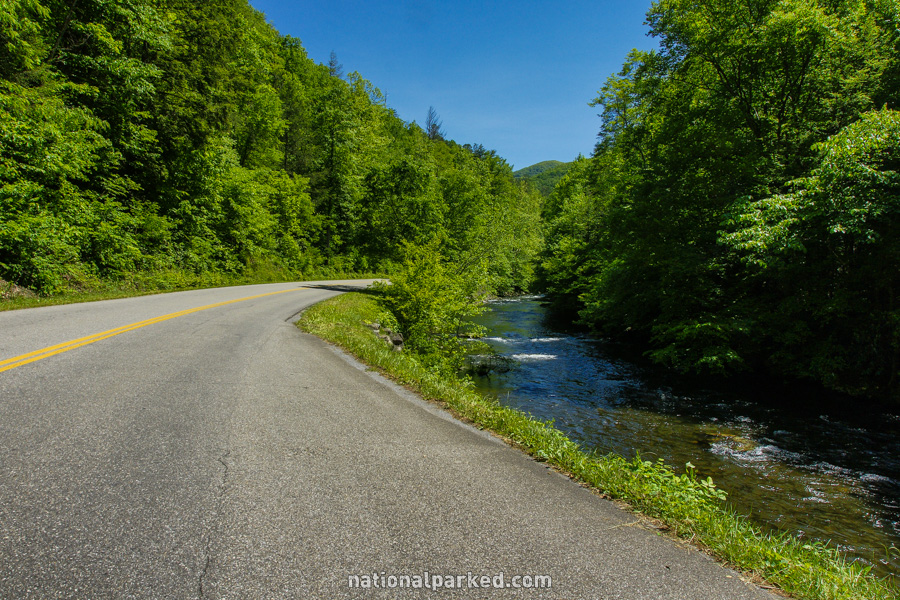
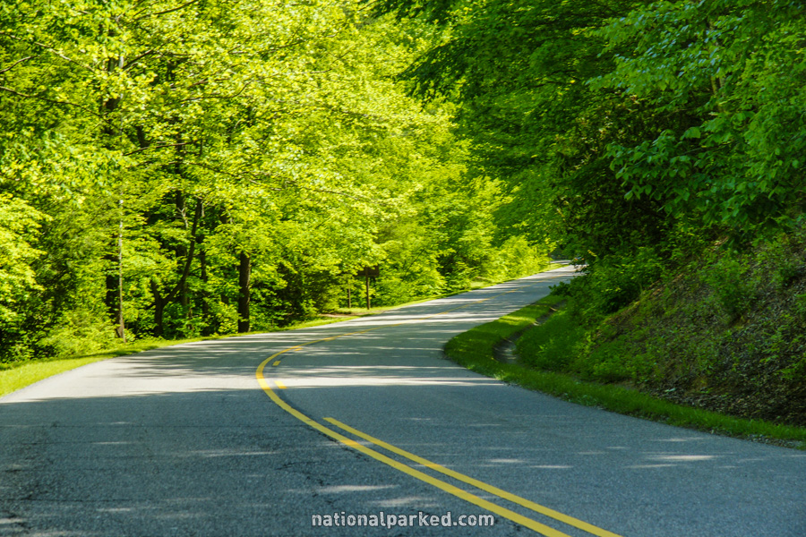
Newfound Gap Road is the road almost everyone who visits Great Smoky Mountains National Park will drive on. It is the section of US-441 that crosses the park north to south over the crest of the Great Smoky Mountains. It links the gateway towns of Cherokee on the North Carolina side and Gatlinburg on the Tennessee side.
We cover this road in two sections. Below is the second part, beginning at Clingman’s Dome Road and heading north to the Gatlinburg Entrance. For the first section, see Newfound Gap Road Part 1.
Mile 17.0 – Newfound Gap
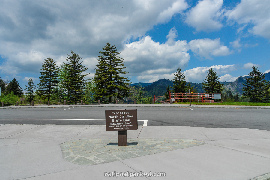
The road arrives at Newfound Gap itself. There is a large overlook area here, as well as a display commemorating the formation of the park. The North Carolina/Tennessee state line also runs through the area. A small sign next to the road marks this point.
Mile 21.4 – Alum Cave Bluffs Trailhead
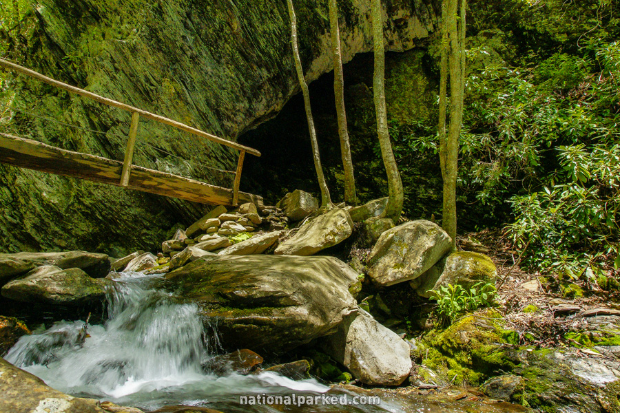
The road passes by two large parking areas for the Alum Cave Bluffs Trailhead. This is an extremely popular hike, and a parking spot is virtually impossible to find during the summer and the month of October. The hike is about 4.5 miles round trip and is moderate in difficulty. For more information see Great Smoky Mountains Hiking Trails.
Mile 23.1 – Chimney Tops Trailhead
The road goes by another huge parking area for the immensely popular Chimney Tops Trailhead. This is a difficult, very steep hike of 4 miles round trip. Despite its difficulty, it is one of the most popular hikes in the park and parking is extremely difficult to come by. As the sign at the trailhead says however, “the view is worth the climb”.
Mile 25.5 – Chimneys Picnic Area
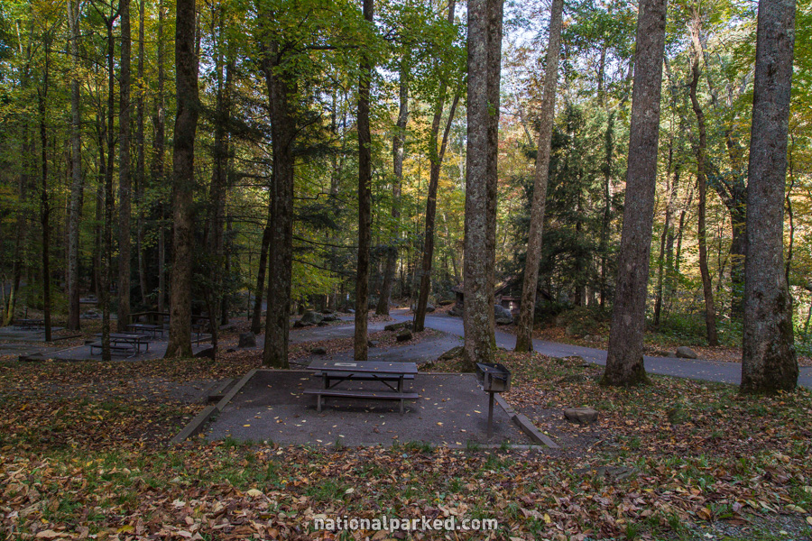
The road passes by the large Chimneys Picnic Area. In addition to the wide selection of picnic spots, some along the water, is the excellent Cove Hardwoods Nature Trail.
Mile 26.8 – Quiet Walkway
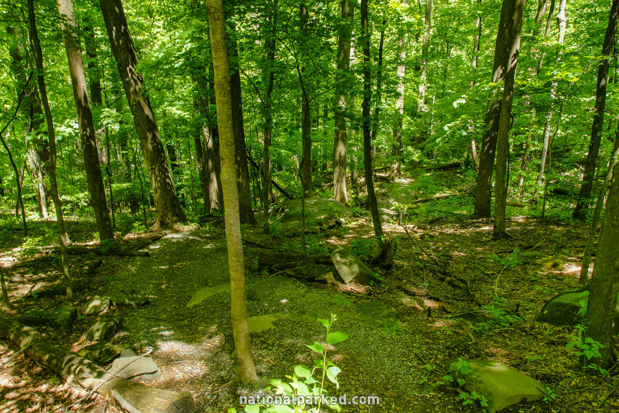
The first of four Quiet Walkways along Newfound Gap Road is on the right. The others are at miles 27.8, 28.3, and 29.0. These short trails are something unique to this park. They are intended as a way to briefly escape the almost constant crowds. There is parking for only a few vehicles at each one, and for whatever reason they are usually not full.
Mile 29.7 – Sugarlands Valley Nature Trail
A small parking area for the Sugarlands Valley Nature Trail is on the right. This short loop through the woods is one of the few that is handicapped accessible.
Mile 30.1 – Little River Road
Little River Road begins to the left. This road leads to the Townsend Wye, and then continues on as Laurel Creek Road to the extremely popular Cades Cove. The Sugarlands Visitor Center is immediately to the right on the road.
Mile 30.8 – Gatlinburg Bypass
The road passes through the Gatlinburg Bypass area. Unless you are intending to head into Gatlinburg, take this route to avoid it and arrive in the town of Pigeon Forge.
Mile 31.6 – Gatlinburg Entrance
The road leaves the park at the Gatlinburg entrance sign and resumes its course as US-441 into the town of Gatlinburg, Pigeon Forge, and beyond.