Laurel Creek Road
Laurel Creek Road is basically the continuation of Little River Road beyond the Townsend Wye area. It connects visitors to the wildly popular Cades Cove Loop Road.
Mile 0 – Townsend Wye
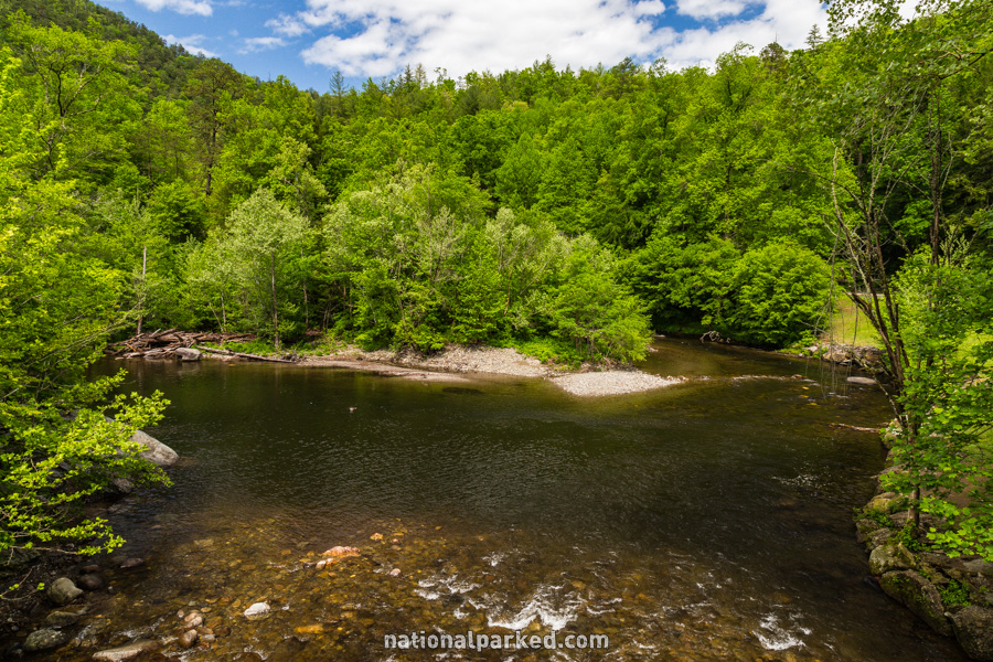
The road begins at its intersection with Little River Road and TN-73 at the Townsend Wye. “The Y” is a very popular spot among locals (and everyone else) in the summer as a favorite swimming and sunning area.
Mile 0.2 – Tremont Road
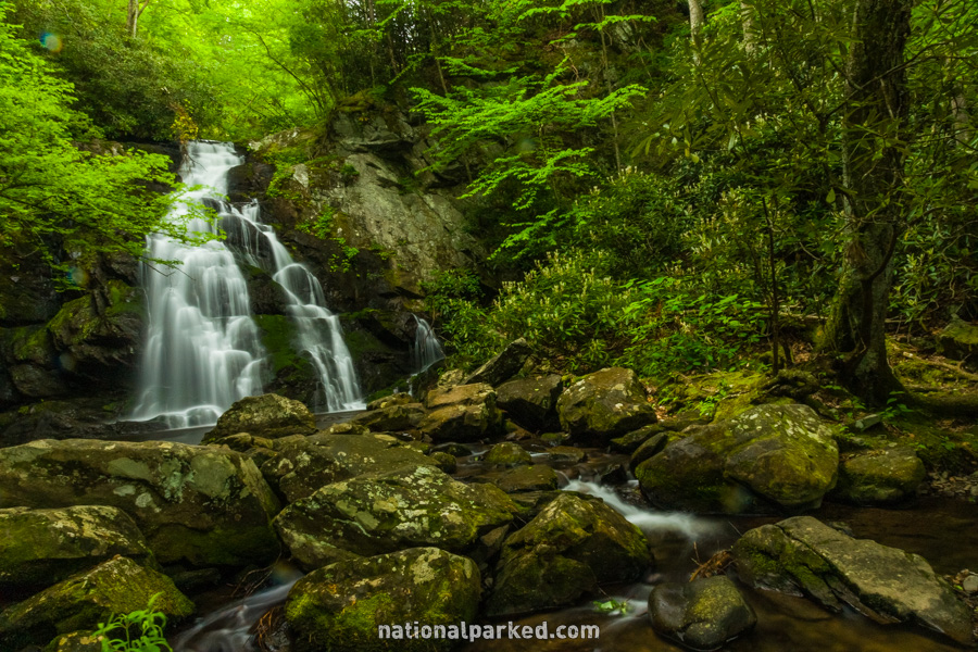
The Tremont Road is on the left. This road leads to the Great Smoky Mountains Institute and some lesser known hikes, including the short but difficult trek to the beautiful Spruce Flats Falls, shown to the left. For more on that, see Great Smoky Mountains Hiking Trails.
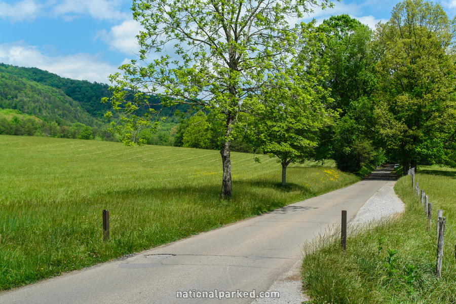
Mile 0.4 – Laurel Creek Cascades
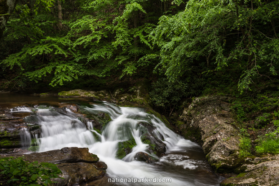
A large pulloff area on the right gives access to Laurel Creek. There is a nice area of cascades here.
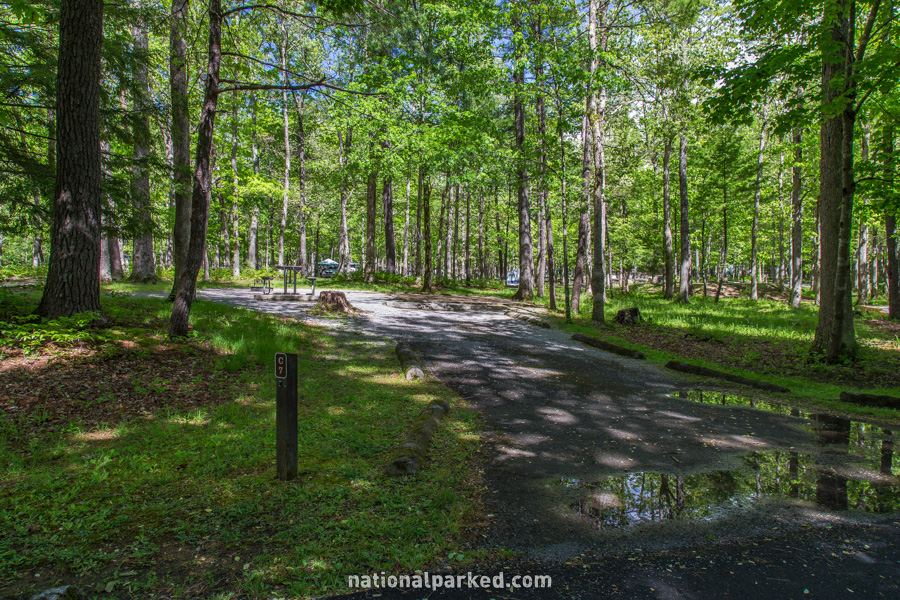
Mile 7.5 – Cades Cove Picnic Area & Campground
A road to the left leads quickly to the Cades Cove Picnic Area and then on to the Cades Cove Campground. The exit of the Cades Cove Loop Road is also down this way.
Mile 7.7 – Cades Cove Loop Road
The road ends at the entrance to the one-way Cades Cove Loop Road. Cades Cove receives more visitors per year (over 2,000,000) than most national parks receive total. The narrow road is bumper-to-bumper through most of the summer, and especially in fall. It can take over two hours to complete this loop at those times.