Teton Park Road (Part 2)
The Teton Park Road runs to the west from this highway and provides closer access to the Teton Range and Jenny Lake. We cover this road in two sections. Part 2 runs from South Jenny Lake Junction to Jackson Lake Junction. It is covered below. For Part 1, from Moose Junction to South Jenny Lake Junction, see Teton Park Road Part 1.
Mile 9.5 – Cascade Canyon Turnout
The Cascade Canyon Turnout is on the left.
Mile 10.9 – North Jenny Lake Junction
The road arrives at North Jenny Lake Junction. To the left is the beginning of the Jenny Lake Scenic Drive, which becomes one-way after 1.5 miles at the String Lake Trailhead. Straight ahead is the continuation of the Teton Park Road.
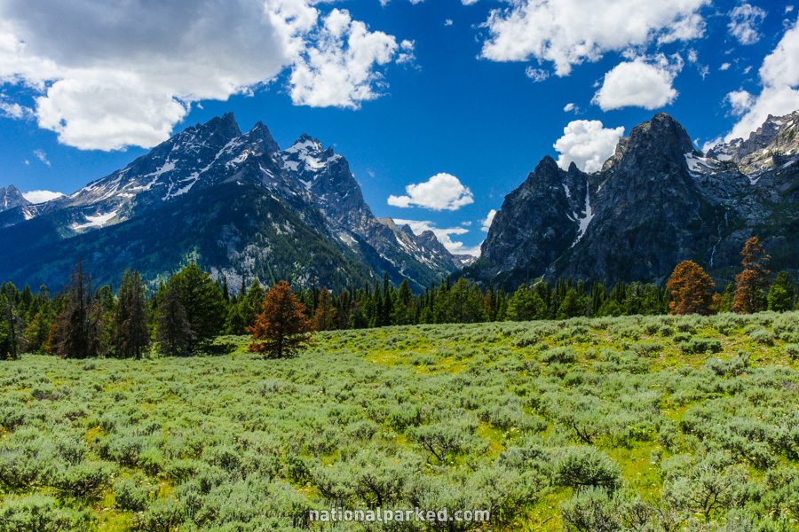
Mile 11.3 – Mountain View Turnout
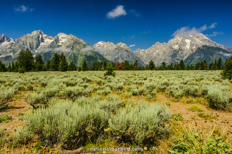
The Mountain View Turnout is on the left. This viewpoint gives a sweeping view of the Teton Range with sagebrush and wildflowers in the foreground.
Mile 14.6 – Mount Moran Turnout
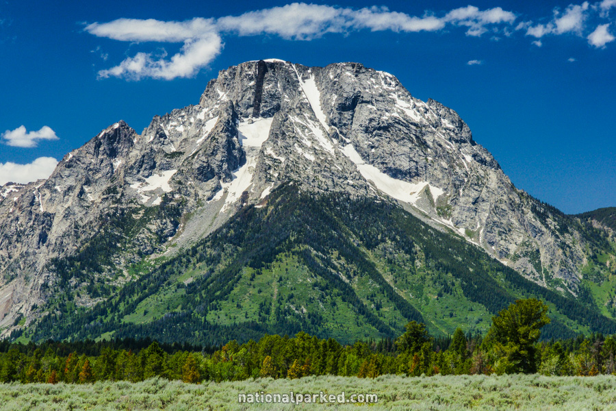
The Mount Moran Turnout is on the left. This popular peak of the Teton Range can be seen from all over, of course, but the view from here is straight on.
Mile 15.3 – Potholes Turnout

The Potholes Turnout is on the right.
Mile 17.0 – Signal Mountain Road
Signal Mountain Road heads off to the right. This road leads 4.8 miles to the top of Signal Mountain.
Mile 18.1 – Signal Mountain Lodge & Campground
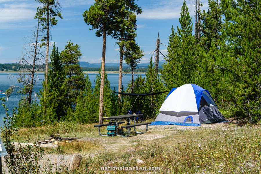
On the left is the Signal Mountain services area. Signal Mountain Lodge and Signal Mountain Campground are on the shores of Jackson Lake. Also available are food, fuel, and a marina.
Mile 19.8 – Jackson Lake Dam
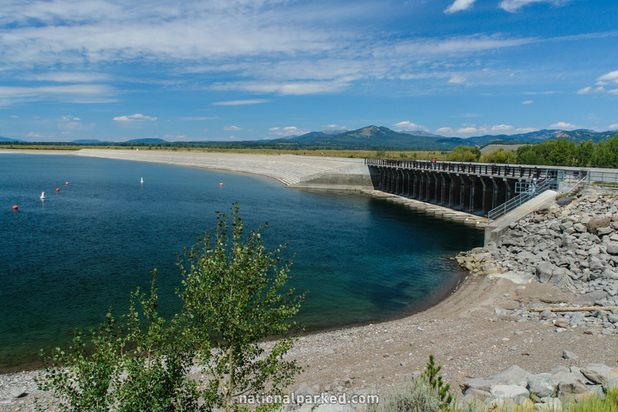
The road passes by parking for the Jackson Lake Dam area. Walking trails along the lakeshore are available along with picnic areas. The road travels over the dam just past this point.
Mile 21.2 – Jackson Lake Junction
The road ends at Jackson Lake Junction. To the left, US Highway 89 heads toward the northern boundary of the park and Yellowstone National Park beyond. To the right, US Highway 89 heads further into the park.