The Roads of Grand Teton

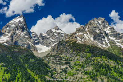
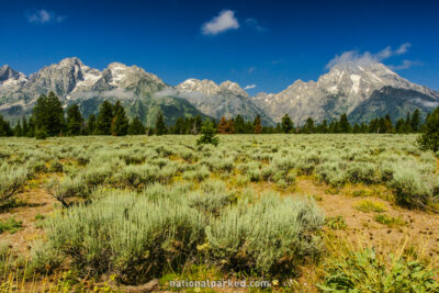
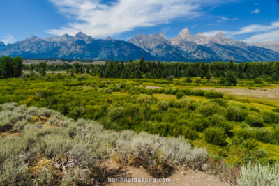
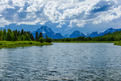
Grand Teton National Park is traversed from north to south by US Highway 89. The Teton Park Road runs to the west from this highway and provides closer access to the Teton Range and Jenny Lake. Other smaller roads such as the Signal Mountain Road and the Jenny Lake Scenic Drive allow closer looks at their respective namesakes. With the exception of US-89, the rest of the roads close for vehicle use during the winter months.

Grand Teton National Park Scenic Drives Locator Map
(click map to open very large locator map of the sections below)


Willow Flats in Grand Teton National Park

US Highway 89 Part 1

Color
Red
Start
Mile 0 - North Entrance
End
Mile 16.5 - Jackson Lake Junction
Scenery
Oxbow Bend in Grand Teton National Park

US Highway 89 Part 2

Color
Blue
Start
Mile 16.6 - Jackson Lake Junction
End
Mile 30.2 - Snake River Overlook
Scenery
Blacktail Ponds in Grand Teton National Park

US Highway 89 Part 3

Color
Yellow
Start
Mile 30.3 - Snake River Overlook
End
Mile 46.3 - South Entrance
Scenery
Teton Glacier in Grand Teton National Park

Teton Park Road Part 1

Color
Green
Start
Mile 0 - Moose Junction
End
Mile 7.9 - South Jenny Lake Junction
Scenery
Mountain View Turnout in Grand Teton National Park

Teton Park Road Part 2

Color
Orange
Start
Mile 8.0 - South Jenny Lake Junction
End
Mile 21.2 - Jackson Lake Junction
Scenery
Jenny Lake in Grand Teton National Park

Jenny Lake Scenic Drive

Color
Purple
Start
Mile 0 - North Jenny Lake Junction
End
Mile 4.0 - Teton Park Road
Scenery


Copyright Notice Disclaimer Privacy Policy Terms of Use

  • All content © 2004-2012 National Parked except as noted.
  • Logos and trademarks remain the property of their owners.
  • We are not affiliated with or endorsed by the National Park Service.
  • Hostgator Logo
    Web hosting
    by Hostgator
    Subscribe on YouTube
    Find Us on Facebook