The Roads of Grand Canyon
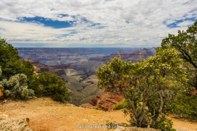
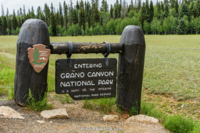
The accessible areas of Grand Canyon are divided into two main areas: the North Rim and the South Rim. The South Rim is open all year, however, winter snows close the roads of the North Rim from about November through April. The North Rim Entrance Road leads from the north boundary to the canyon rim. The Cape Royal Road runs from the North Rim Entrance Road to Cape Royal, passing severalother overlook spots on the way.
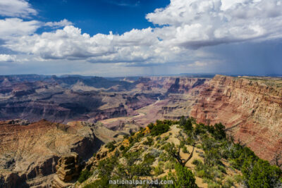
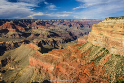
On the South Rim, Desert View Drive, the park owned part of AZ-64, runs from the eastern entrance to the Grand Canyon Village area. Finally, the famed Hermit Road runs from Grand Canyon Village to Hermit’s Rest. This road is closed to private vehicles during all but the winter months. Mandatory shuttles provide the only motorized access to this scenic drive.
Start Point: Mile 0 – North Entrance Road
End Point: Mile 19.7 – Cape Royal
Start Point: Mile 0 – Desert View Entrance
End Point: Mile 24.4 – South Entrance Road
Start Point: Mile 0 – Road start at gates
End Point: Mile 6.9 – Hermit’s Rest
Start Point: Mile 0 – North Rim Entrance
End Point: Mile 12.6 – North Rim parking area