Hiking Trails in Glacier
Glacier is a hiker’s paradise, though mostly designed for the backpacker. Its remote areas and long distances are not very conducive to day hiking. Nevertheless, many spectacular destinations can be reached by relatively short hikes. Some of these are described below.
Hiking distances given below are total, roundtrip distances unless otherwise stated. Difficulties are only a general guideline, for an adult in good condition, and do not take into account trail length. We strongly recommend you also have a good Glacier Trail Map with you.
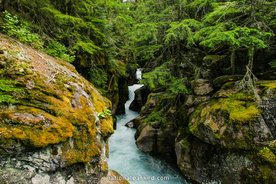
Avalanche Lake
The Hike: This trail follows the boardwalk of the Trail of the Cedars (described further down this page) for 0.3 miles before a junction with the Avalanche Creek Trail to the right. Follow the sign toward Avalanche Lake, climbing upward and following along the spectacular Avalanche Creek Gorge, shown in the below photo, before finally arriving at the lake at 2.3 miles. The trail continues on to the other end of the lake.
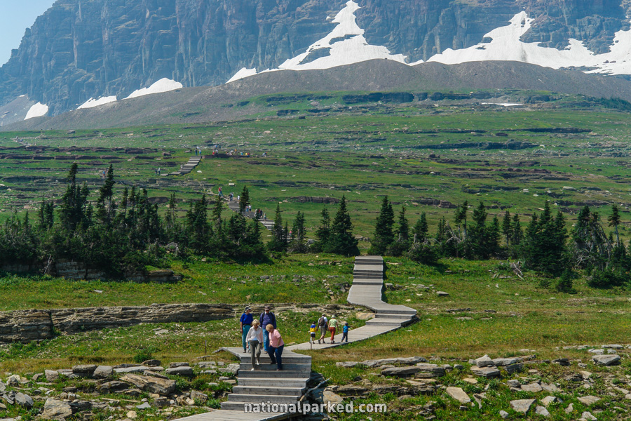
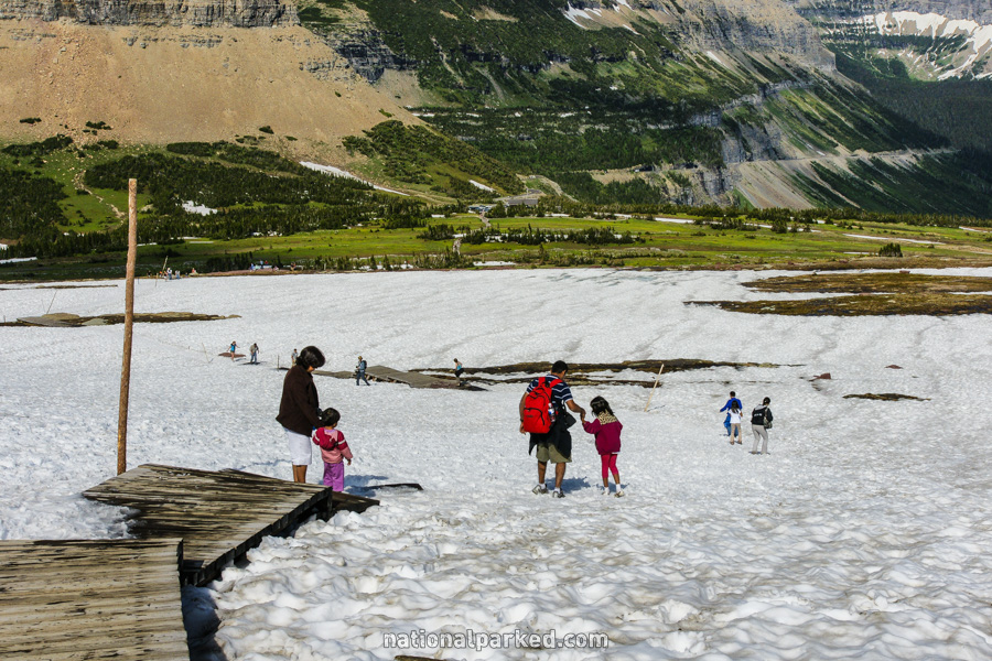
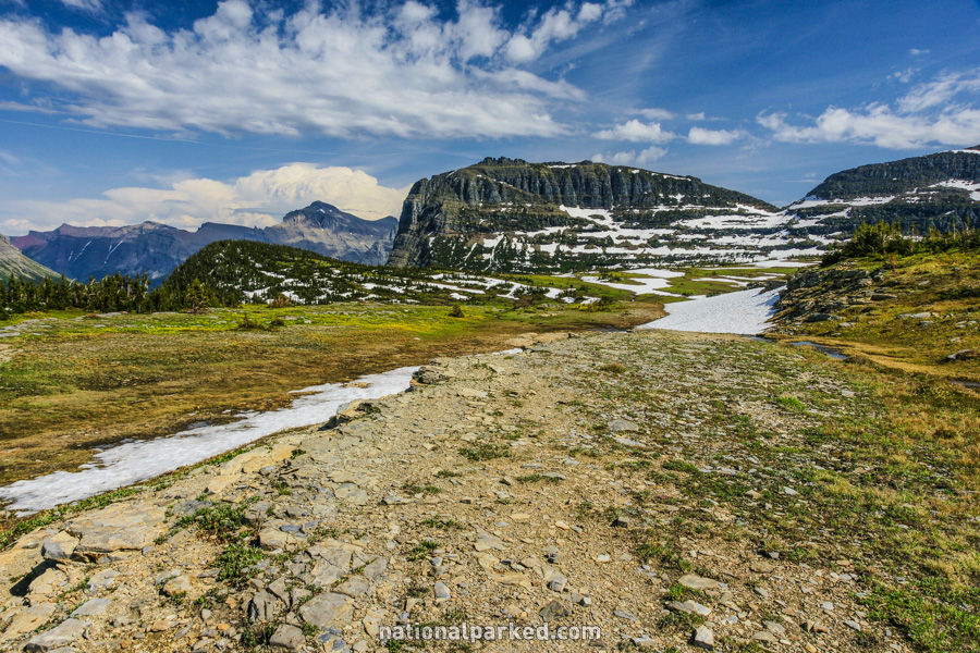
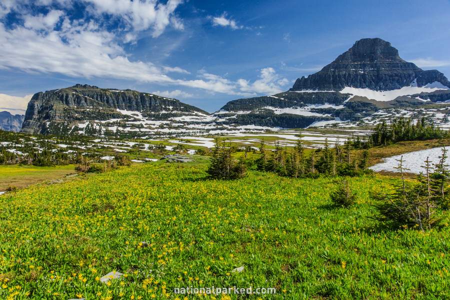
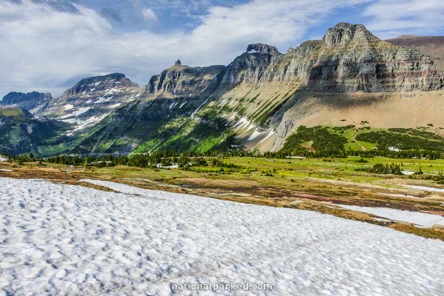
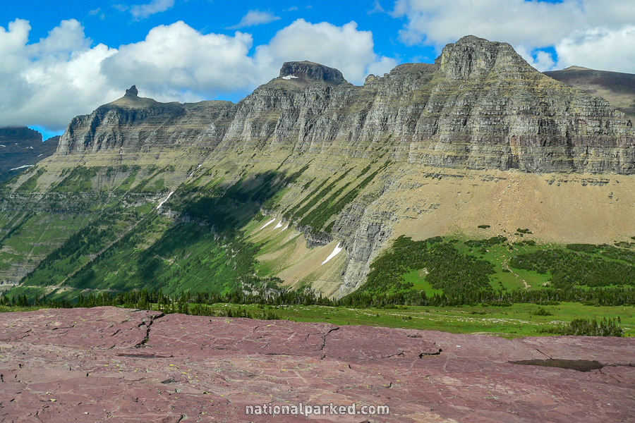
Hidden Lake
The Hike: This trail follows a boardwalk upwards through the meadow behind the visitor center and reaches an overlook of Hidden Lake at 1.5 miles. Most people stop here. From the overlook, the trail descends, steeply at times, 700 feet to the shore of Hidden Lake at 3 miles.
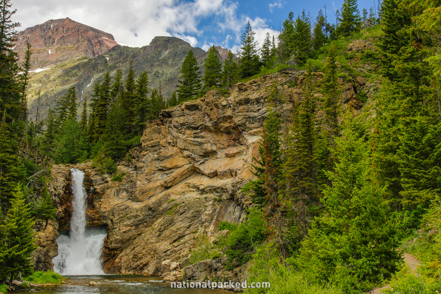
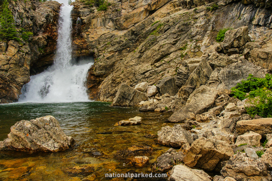
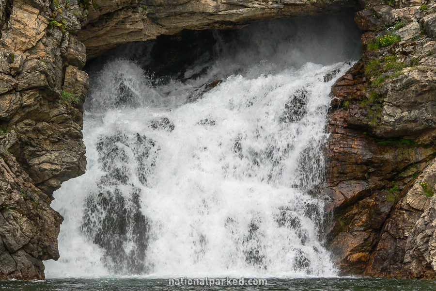
Running Eagle Falls
The Hike: This is an easy walk to a bizarre waterfall. Most of the time it appears as in the first photo below, with the water coming right out of an opening in the rock. During high water, usually during snowmelt runoff in spring and early summer, the water also comes over the top as seen in the last two photos.
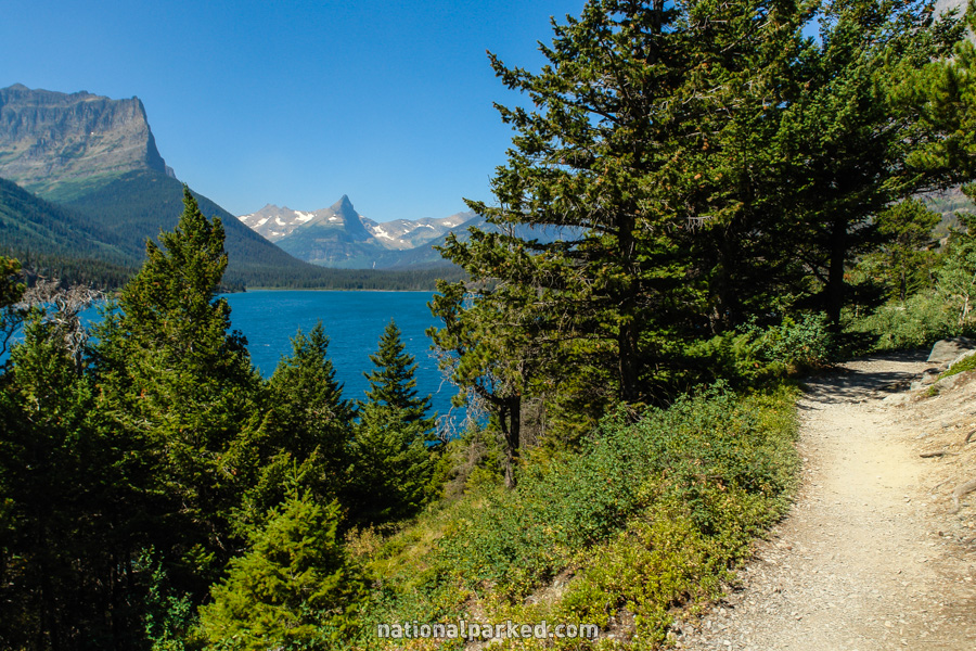
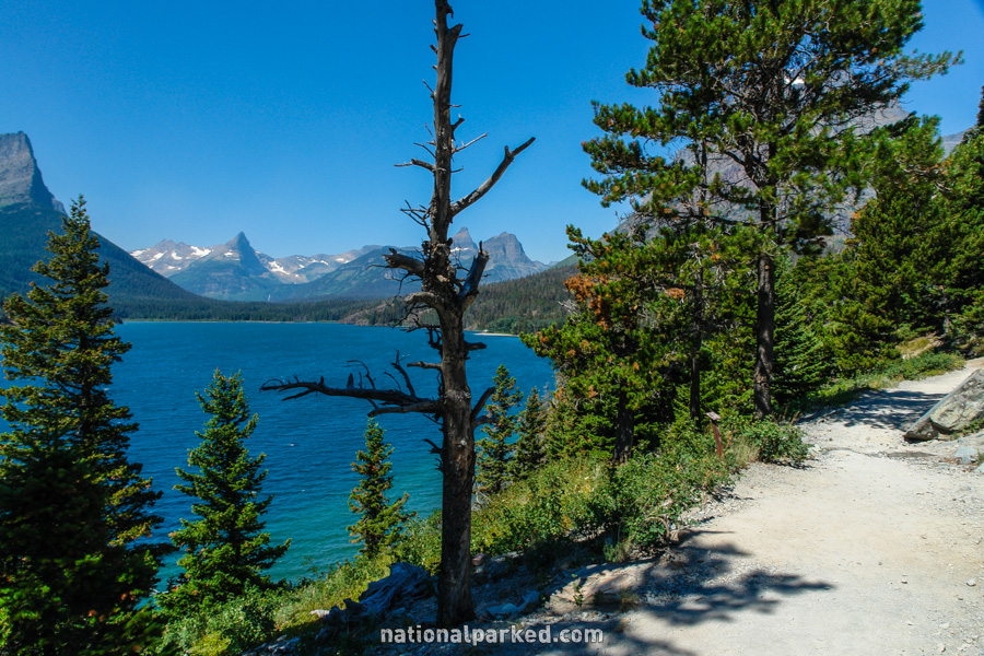
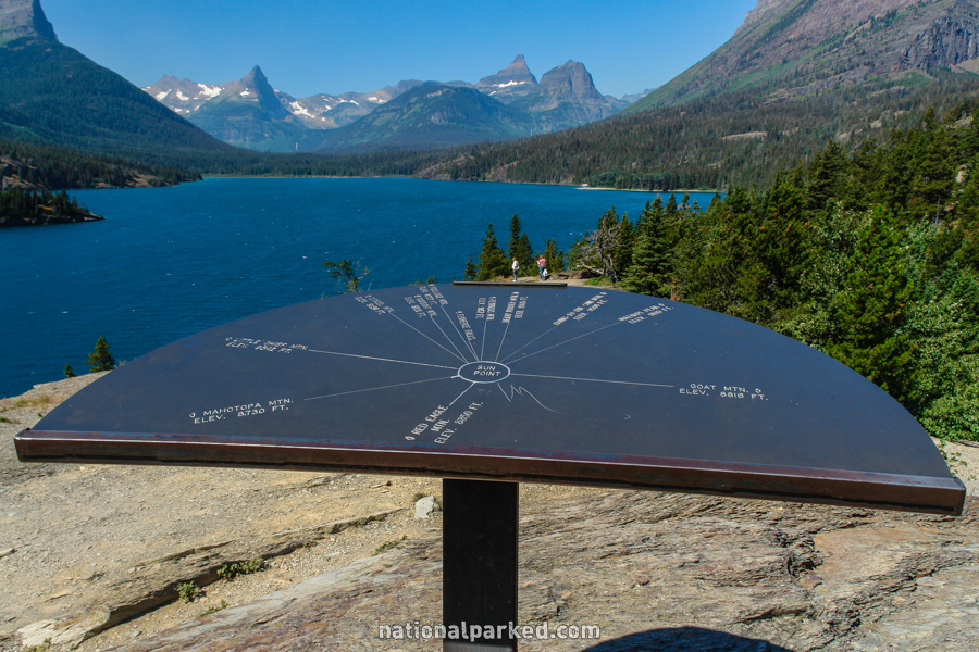
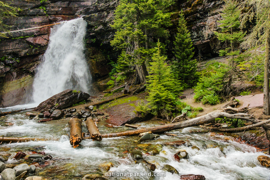
Sun Point Nature Trail
The Hike: This nature trail follows along a trail above the shoreline of Saint Mary Lake, with continuous amazing views. Sun Point itself is actually at the end of a short side trail near the beginning of the hike. The trail eventually leads to a nice waterfall named Baring Falls, also shown below.
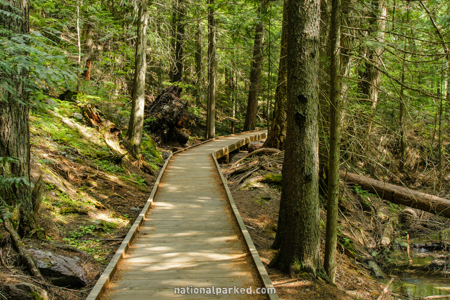
Trail of the Cedars
The Hike: This easy walk follows a boardwalk for part of its distance as it goes through an old-growth forest of western cedar, among other things.