Hiking Trails in Death Valley
Death Valley’s massive size means an almost endless supply of hiking areas. While the large majority of the park is extremely remote wilderness, and hence trail-free, there are several short dayhike options around some of the developed areas. Most longer hikes are actually just suggested routes, free of marked trails. Those are not covered here.
Hiking distances given below are total, roundtrip distances unless otherwise stated. Difficulties are only a general guideline, for an adult in good condition, and do not take into account trail length. We strongly recommend you also have a good Death Valley Trail Map with you. Do not hike in the low elevations in Death Valley during the hot months.
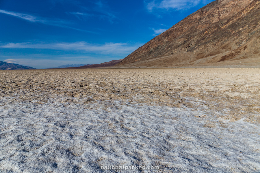
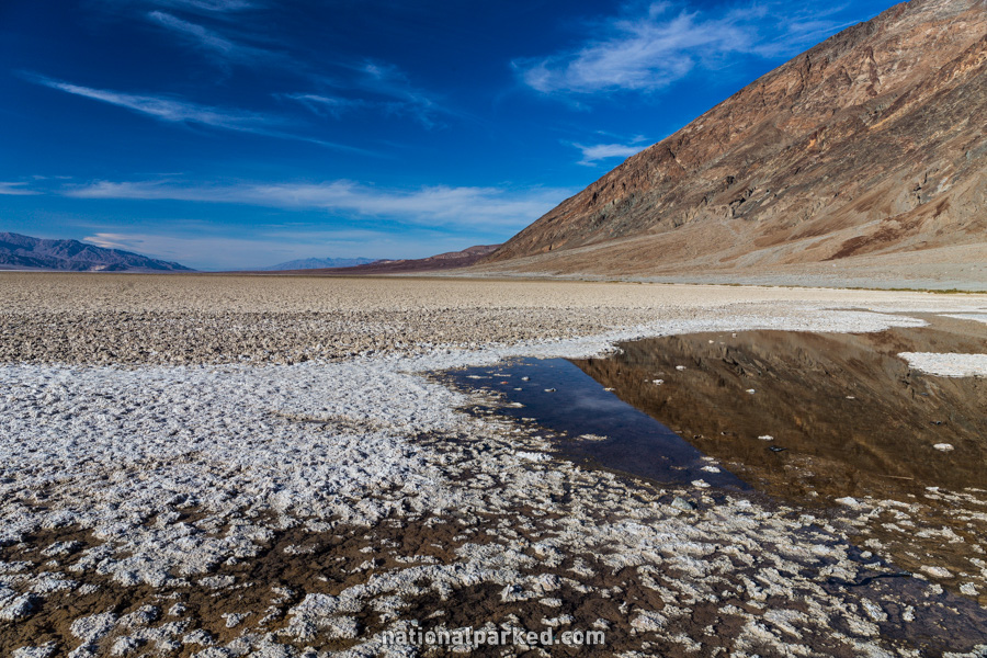
Badwater Basin
The Hike: This is just a free walk across the salt flat, about half a mile to its edge from the parking area. This is a very easy, flat walk – in the cooler months. Use extreme caution making this walk in the summer heat. At over 200 feet below sea level, ground temperatures can approach 200°F (yes, that’s almost the boiling point of water).
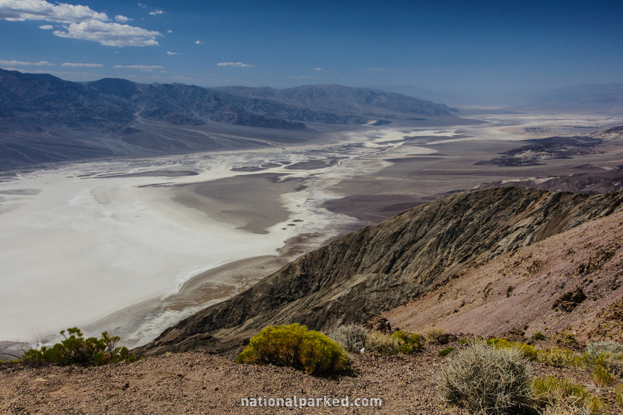
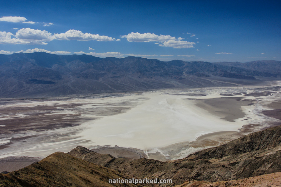
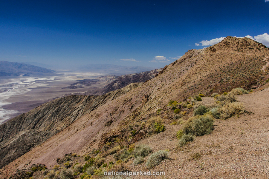
Dante’s Ridge
The Hike: This trail leads up a ridge along Dante’s View, providing constant panoramas and is a good escape from the heat of summer. You can make this up to a 4 mile hike one-way to Mount Perry, but there is no trail beyond the half mile mark.
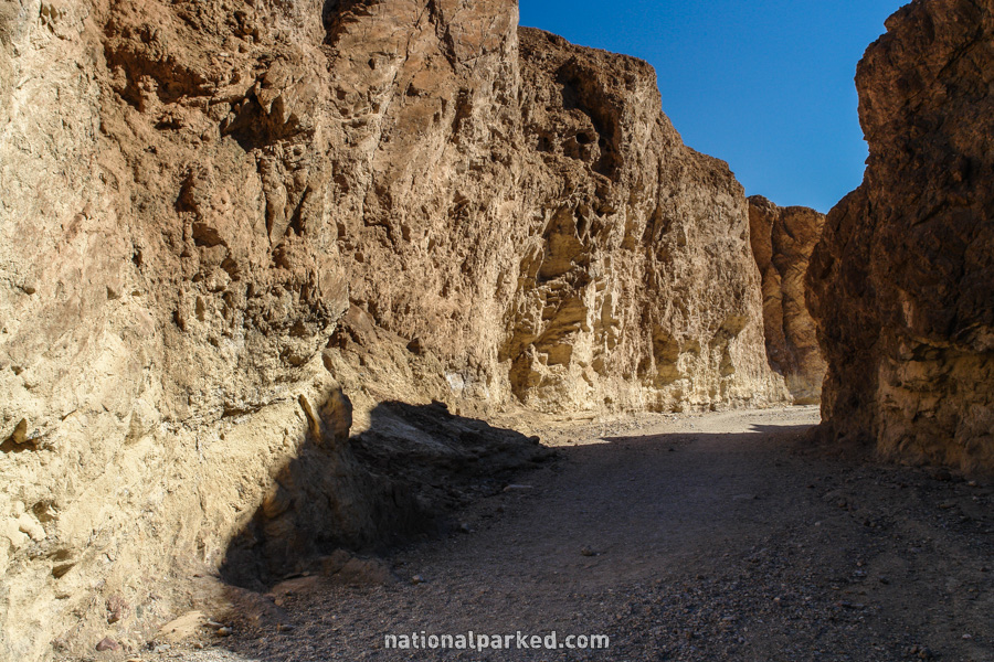
Golden Canyon
The Hike: This is an easy hike back into a colorful canyon, which receives a good amount of shade, making it at least doable in the summer. There are many other similar canyons in Death Valley, but none are as easily accessed as this one, and Golden Canyon is even maintained as a nature trail, with trail guides available.
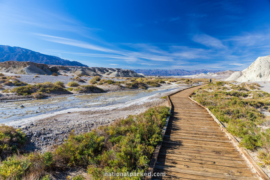
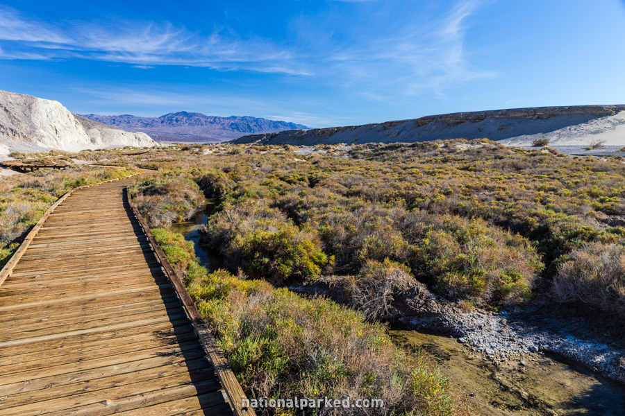
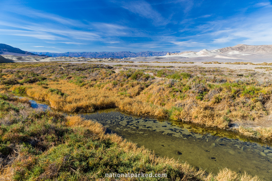
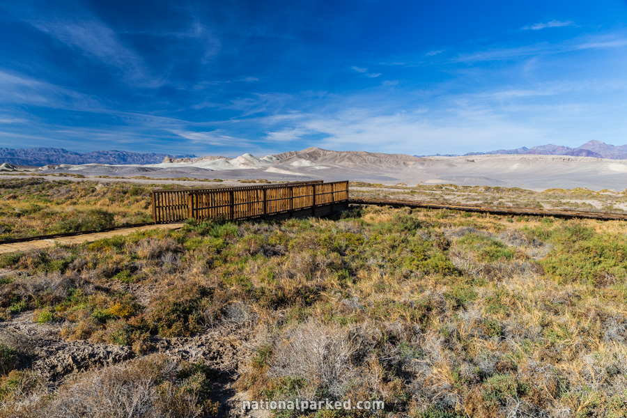
Salt Creek Nature Trail
The Hike: This is a short and easy hike along an area where there (sometimes) is a small, salty stream, extremely rare in Death Valley. Small desert pupfish live in the waters. Late winter and early spring are the best times to see the creek with a decent water flow. As with all low elevation hikes in the park, use extreme caution if you attempt this in the hot months.
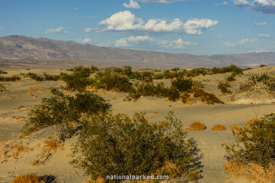
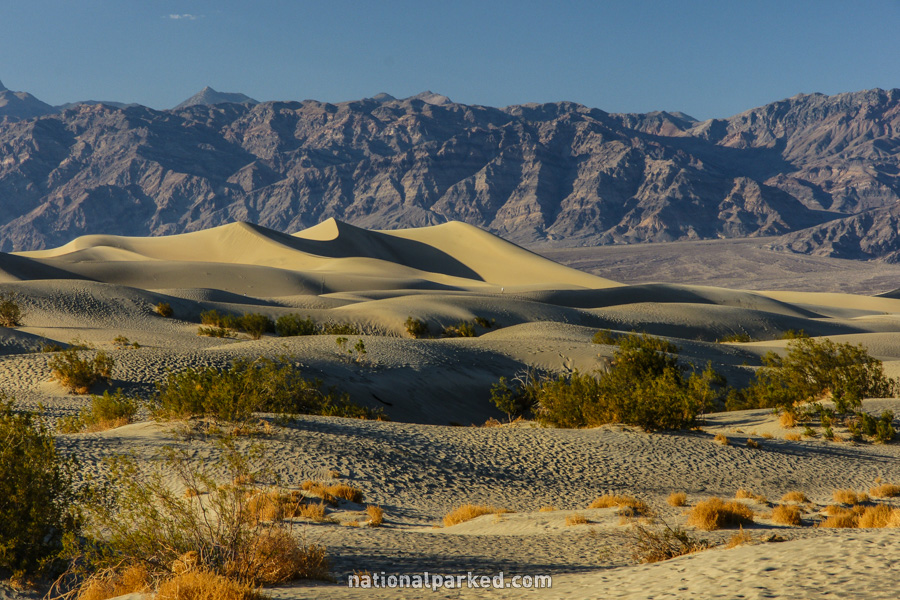
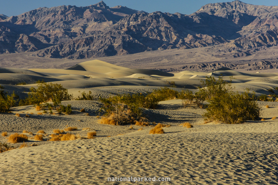
Sand Dunes
The Hike: This is a flat, cross-country walk to the dunefield. Once there, it is a total hike of 2 miles to the highest dune. This is a popular area during cooler months – if you plan to do this in the summer, reconsider. If you must, take large amounts of water and use extreme caution.
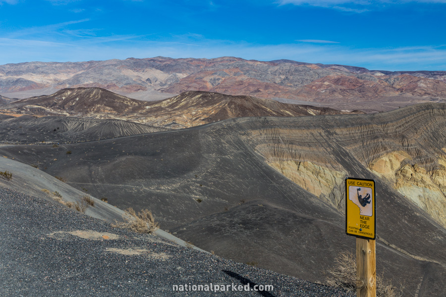
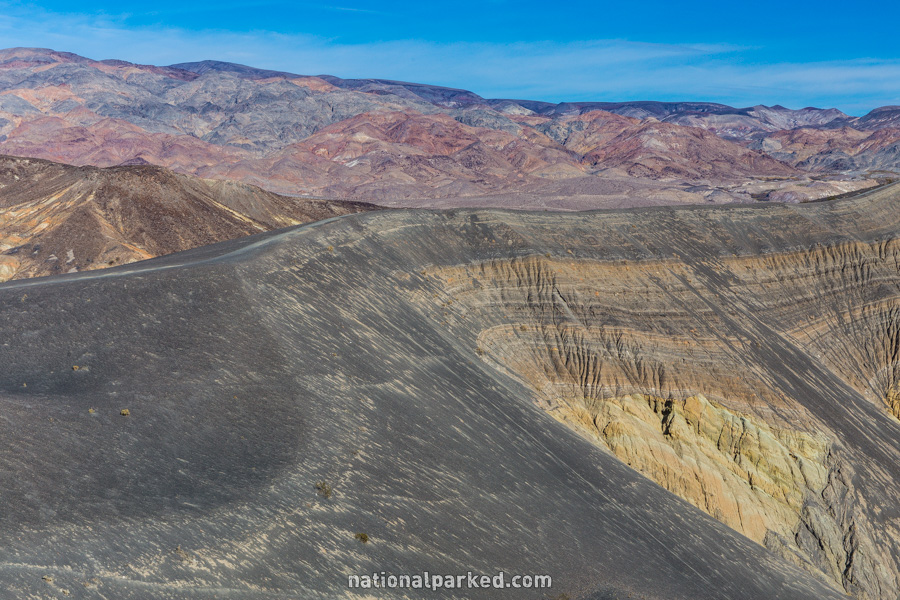
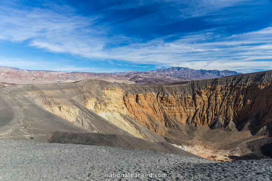
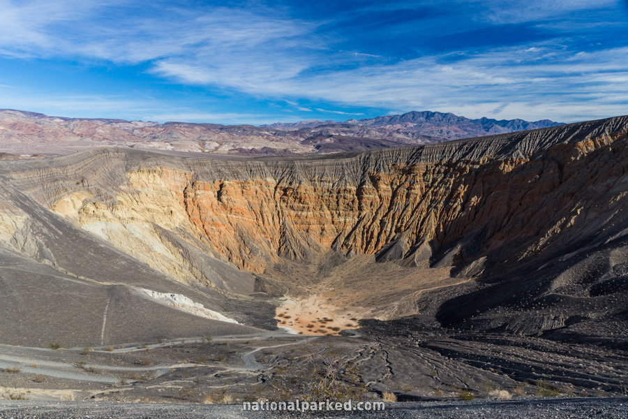
Ubehebe Crater
The Hike: This is a relatively flat walk around the rim of Ubehebe Crater, which visits Little Hebe and several other craters on the way. This area can be windy in the extreme at times.