Hiking Trails in Cuyahoga Valley
Cuyahoga Valley has a wide selection of differing hiking trails throughout its many units. A few of the more popular ones are described below.
Hiking distances given below are total, roundtrip distances unless otherwise stated. Difficulties are only a general guideline, for an adult in good condition, and do not take into account trail length.
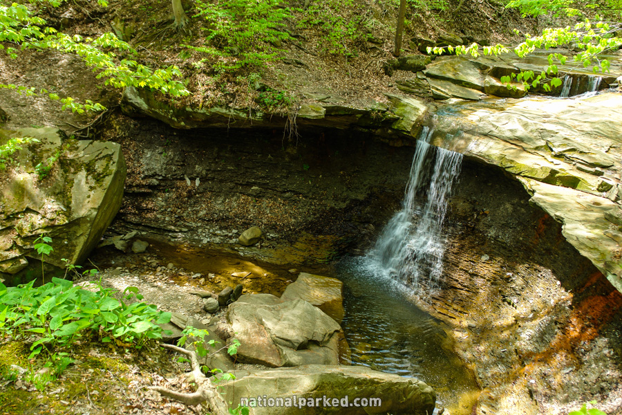
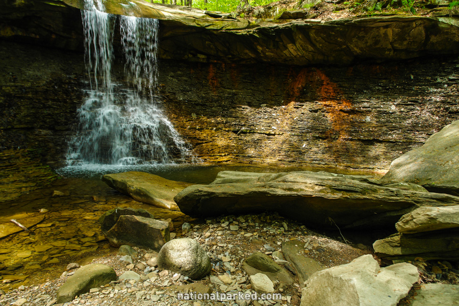
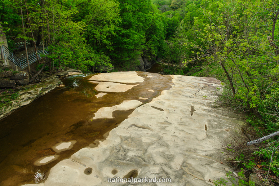
Blue Hen Falls
The Hike: This is an easy hike other than the initial descent to creek level. A bit of scrambling around is necessary to get to the base, but there is a fine view of the falls from the fenced viewing area. This is a beautiful and easy falls to get to, and is a good choice for anyone who likes waterfalls. In many ways it is more scenic (and almost certainly less crowded) than the much better known Brandywine Falls.
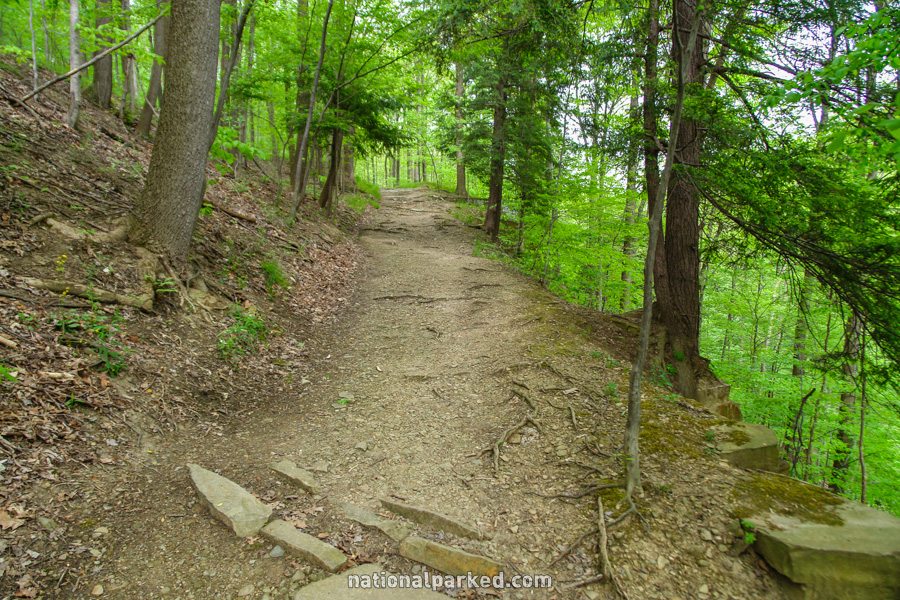
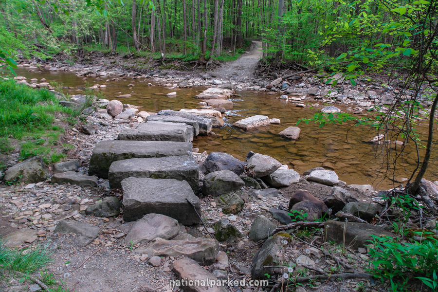
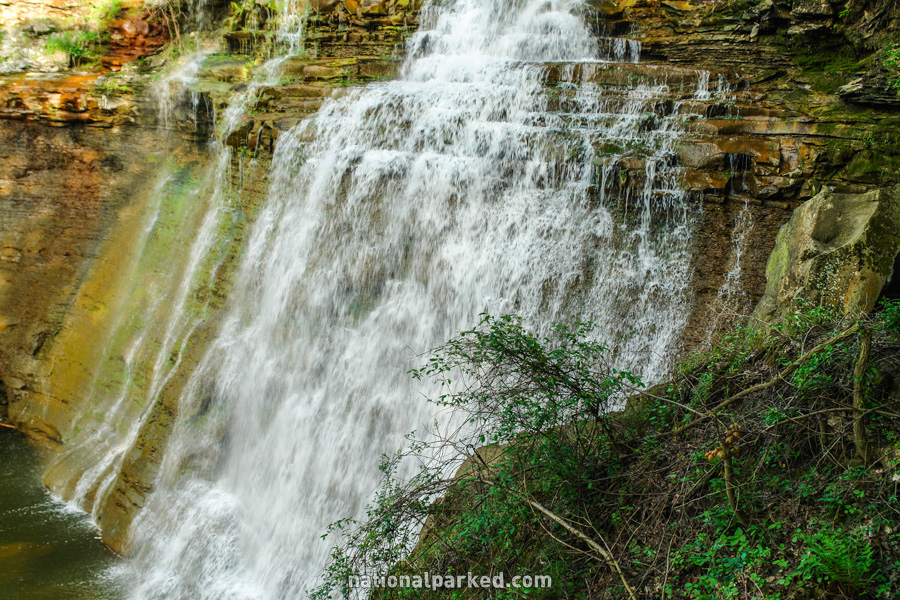
Brandywine Gorge & Falls
The Hike: This loop starts near Brandywine Falls and goes across a bridge above the falls before descending to creek level along the other side of the gorge. The trail crosses Brandywine Creek at the bottom on large stone columns; this may not be possible during times of very high water. If it is, the trail crosses a road and climbs back up to the parking area. Brandywine Creek, and its waterfall, is very scenic and one of the best hikes in the park.
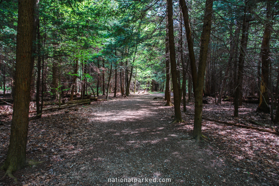
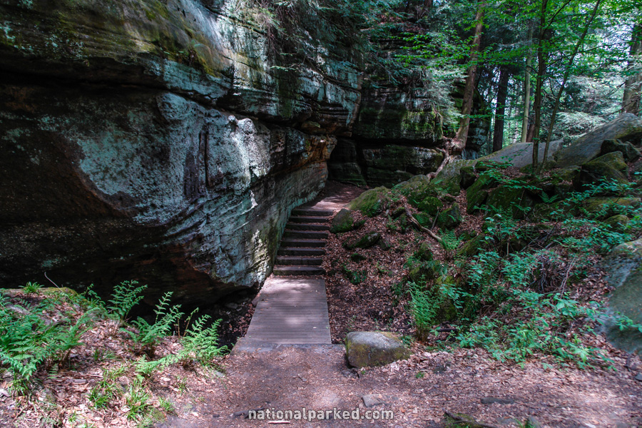
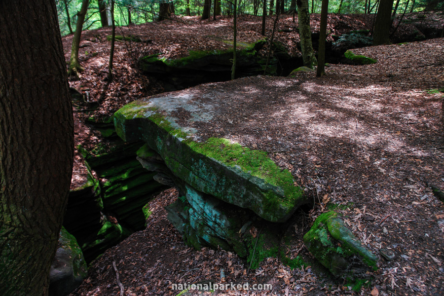
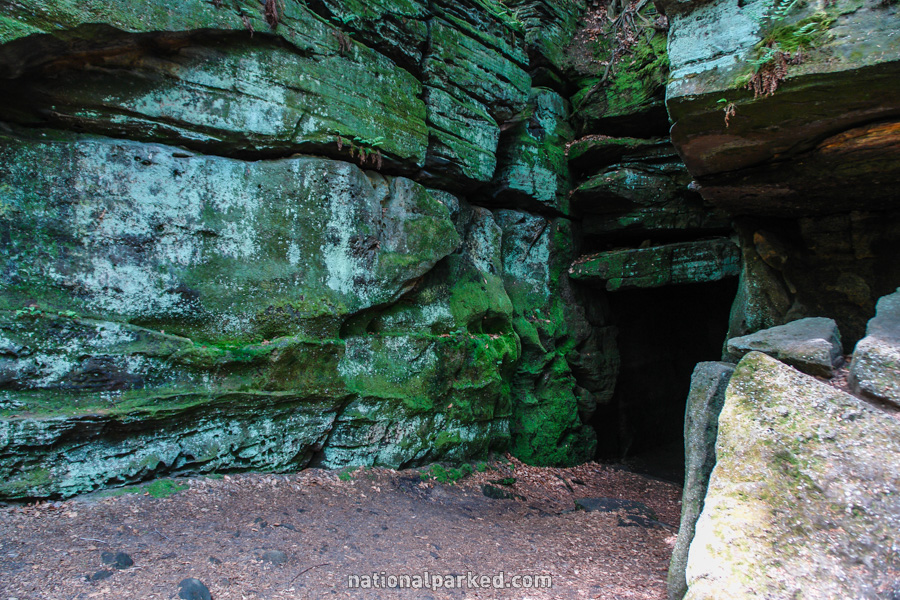
Ritchie Ledges
The Hike: This is a very interesting hike that loops down and through the locally famous Ritchie Ledges. The trail starts above the ledges, and then drops down below them. An interesting feature, Ice Box Cave, can be seen along the way. This hike has lots of shade and is a good choice on a hot day.