- This page contains affiliate links. Purchases made through them may earn us a small fee.
Getting to Crater Lake National Park
Crater Lake National Park is located in the Southern Cascades of the state of Oregon. It is fairly remote, the nearest town of size being the city of Medford, over an hours drive away.
Driving to Crater Lake
The south entrance to Crater Lake is the only one open year round. From I-5 and Medford, follow OR-62 northeast 70 miles to the park. In the summer, access to the park is possible via OR-138 to the north entrance.
If you’d like to plot directions from your location use the interactive map below. The marker shows the location of the Rim Village Visitor Center in Crater Lake.
Flying to Crater Lake
Below you will find a list of airports most convenient for a trip to Crater Lake, listed in order of distance. For each airport we provide direct links to browse available flights and cars. For price searches, simply enter your origin and dates.
Rogue Valley International-Medford Airport (MFR)
Located in Medford, Oregon, 70 miles by car to Crater Lake
Medford flight schedule and price search
Medford available rental cars and price search
Redmond Municipal Airport (RDM)
Located in Redmond, Oregon, 153 miles by car to Crater Lake
Redmond flight schedule and price search
Redmond available rental cars and price search
Portland International Airport (PDX)
Located in Portland, Oregon, 289 miles by car to Crater Lake
Portland flight schedule and price search
Portland available rental cars and price search
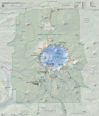
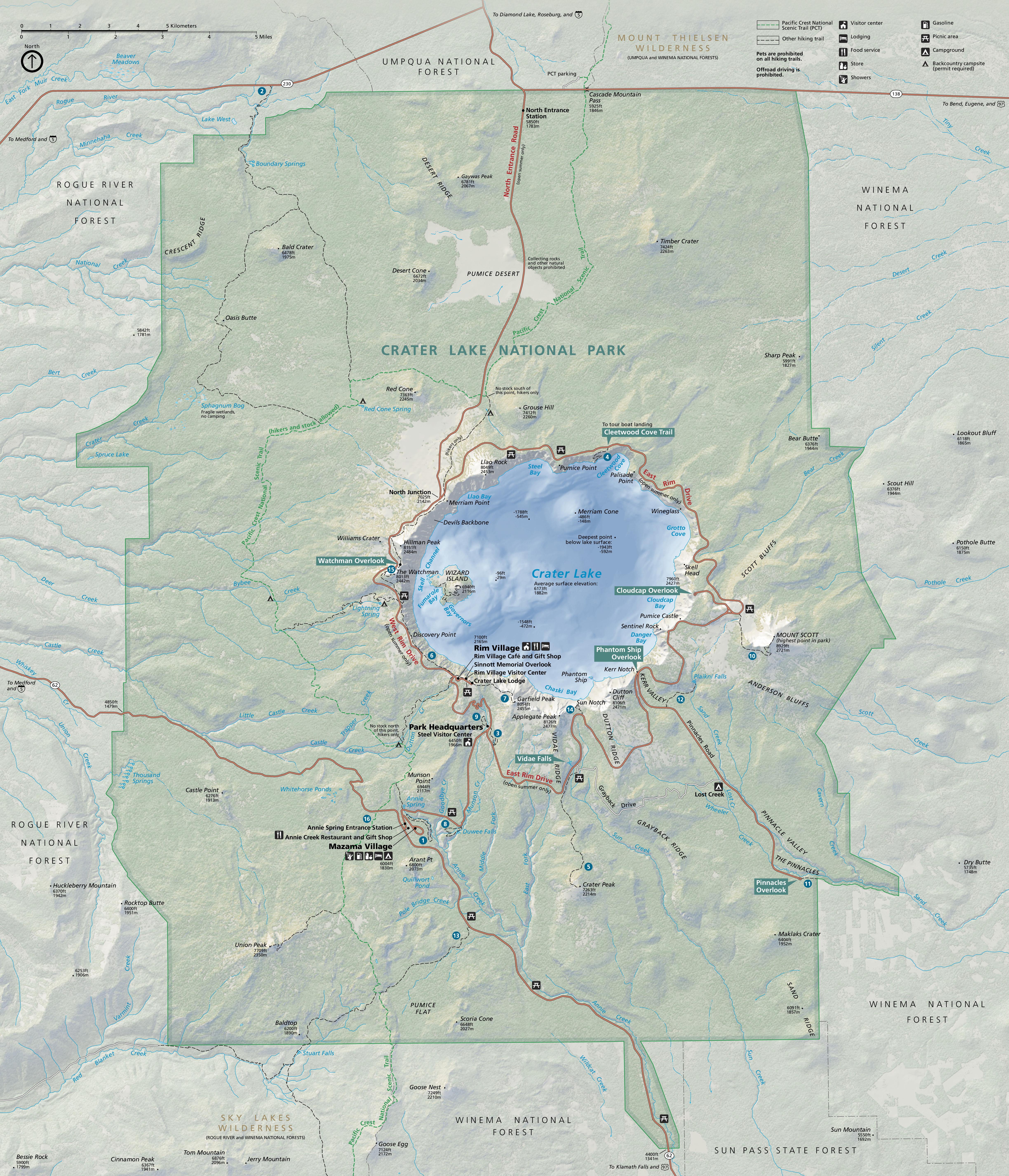
Official Park Map
Below is the official park map provided by the National Park Service. You can view either the original PDF file or a simple JPEG image file (some of these files can be quite large). Note that while this map is useful for general navigation around the park, if you plan to do any hiking, you should really have a proper Crater Lake Trail Map.