Hiking Trails in Congaree
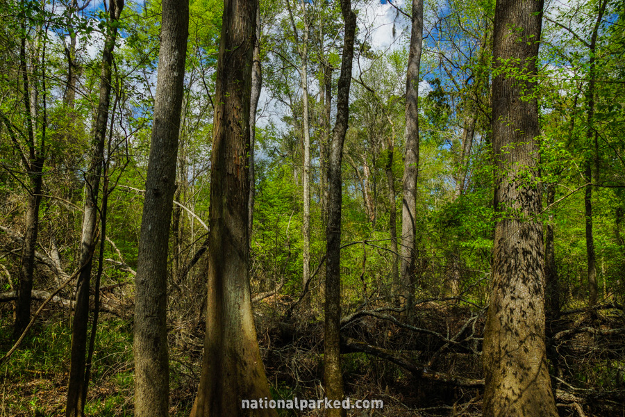
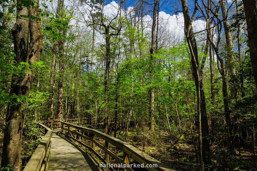
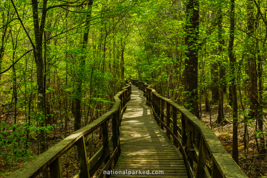
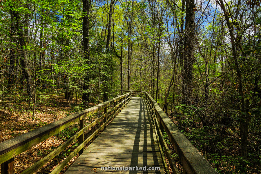
Congaree is a relatively new national park and most of its land is wilderness. A limited trail network covers a relatively small portion of the park. However, the Boardwalk Loop Trail is one of the better constructed trails we’ve seen in the entire NPS system, and is well worth the time.
Hiking distances given below are total, roundtrip distances unless otherwise stated. Difficulties are only a general guideline, for an adult in good condition, and do not take into account trail length.
Boardwalk Loop Trail
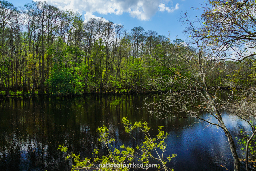
The Hike: An excellent trail guide keyed to numbered stops can be obtained at the visitor center, and this is recommended, since there is little in the way of explanation along the way. The loop to the left follows an elevated boardwalk over an area flooded much of the year. The back half remains on boardwalk, but drops to ground level. Along the way is an elevated viewpoint of Weston Lake. This hike is the best (and only) easy way to see the Congaree floodplain forest.
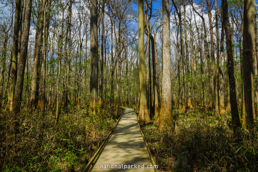
Weston Lake Loop
The Hike: This trail is a nice way to extend the Boardwalk Loop, if that isn’t enough for you. The trail follows along the bank of Cedar Creek much of the way, where abundant wildlife can often be viewed. Flooding can close this trail for extended periods.