- This page contains affiliate links. Purchases made through them may earn us a small fee.
Getting to Congaree National Park
Driving to Congaree
Due to the park’s proximity to the major urban area of Columbia, there are a large number of possible routes. Most of them lead to I-77, so we give directions from there. Take exit 5 for SC-48 (Bluff Road) and follow it east for 14 miles. Turn right onto Mt. View Road for 0.8 miles, then turn right onto Old Bluff Road for 0.6 miles to the park entrance.
If you’d like to plot directions from your location use the interactive map below. The marker shows the location of the Harry Hampton Visitor Center in Congaree.
Flying to Congaree
Below you will find a list of airports most convenient for a trip to Congaree, listed in order of distance. For each airport we provide direct links to browse available flights and cars. For price searches, simply enter your origin and dates.
Columbia Metropolitan Airport (CAE)
Located in Columbia, South Carolina, 24 miles by car to Congaree
Columbia flight schedule and price search
Columbia available rental cars and price search
Augusta Regional Airport (AGS)
Located in Augusta, Georgia, 96 miles by car to Congaree
Augusta flight schedule and price search
Augusta available rental cars and price search
Charlotte Douglas International Airport (CLT)
Located in Charlotte, North Carolina, 111 miles by car to Congaree
Charlotte flight schedule and price search
Charlotte available rental cars and price search
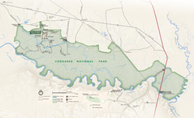
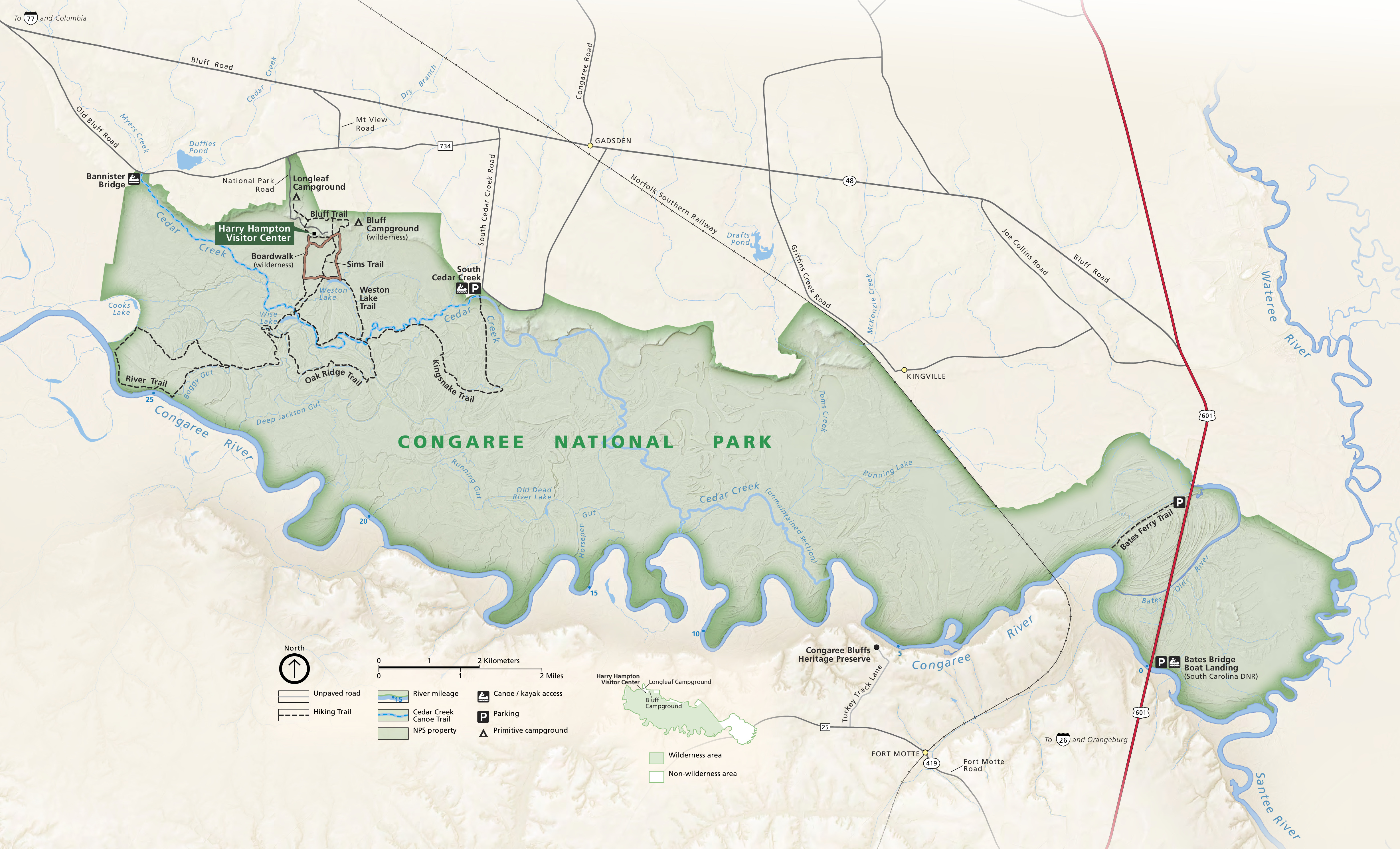
Official Park Map
Below is the official park map provided by the National Park Service. You can view either the original PDF file or a simple JPEG image file (some of these files can be quite large).