Bryce Canyon Road Part 2
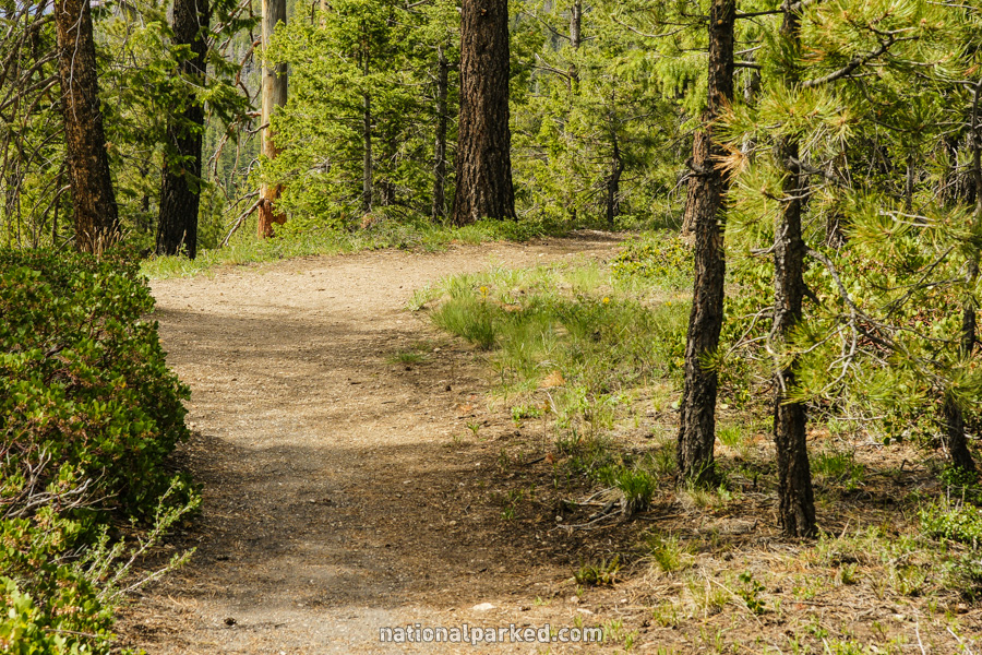
This is the continuation of our coverage of the Bryce Canyon Road, from the Rainbow Gate to the end of the road at Rainbow Point. This is the much longer section, mileage wise. There are a number of viewpoints along the road. It should be noted that all of these viewpoints are on the left side of the road as you go in. It is easier (and safer) to drive to the end, and make stops on the way back out. For coverage of the beginning of the road, see Bryce Canyon Road Part 1.
Mile 6.2 – Swamp Canyon & Sheep Creek Connector Trails

A parking area for the Swamp Canyon and Sheep Creek Connector Trails is on the left. This area is mainly of interest for backpackers descending to the Under-the-Rim Trail.
Mile 9.1 – Whiteman Connector Trail
Another parking area is on the left for the Whiteman Connector Trail. As above, this area is intended for backpackers headed for the Under-the-Rim Trail.
Mile 10.7 – Farview Point
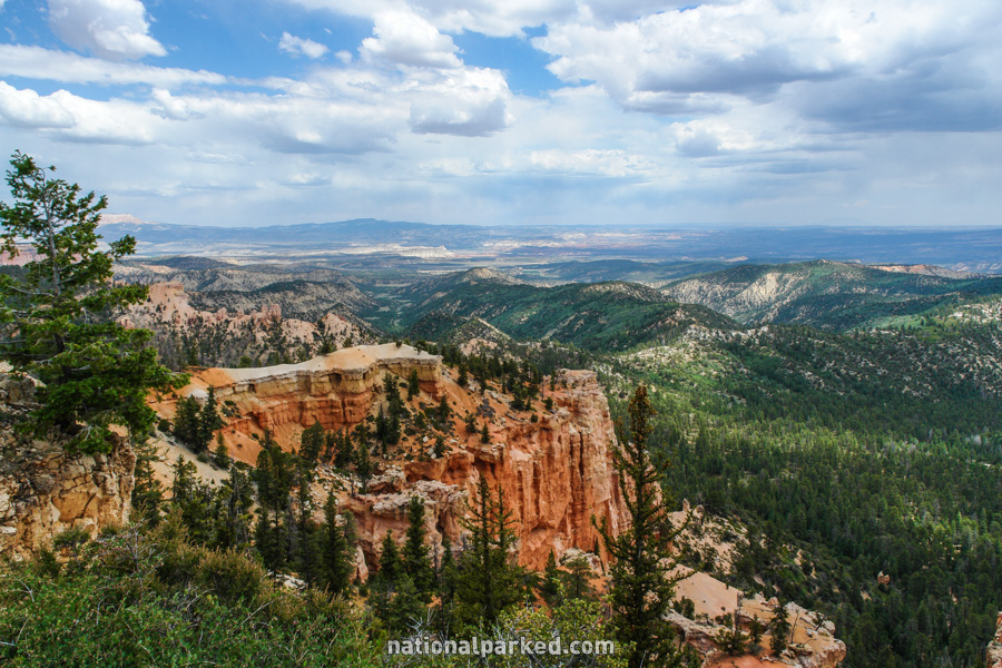
The first major viewpoint on the main road, Farview Point, is on the left. As its name implies, this vista point allows a far-reaching view, usually extending all the way to the Kaibab Plateau of the Grand Canyon North Rim far to the southeast.
Mile 12.6 – Natural Bridge
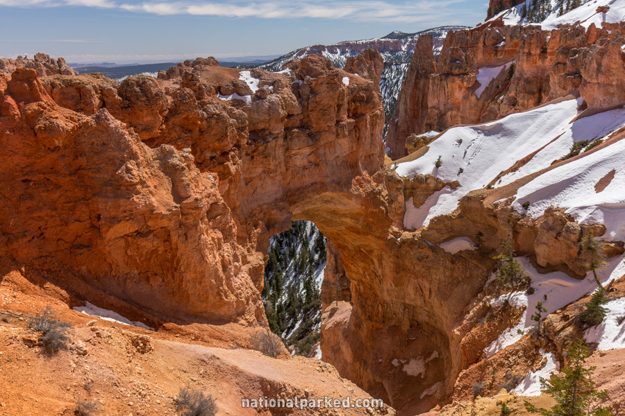
A small parking area for Natural Bridge is on the left. This is a stop everyone should make, as it allows a relatively close view of a large arch formation.
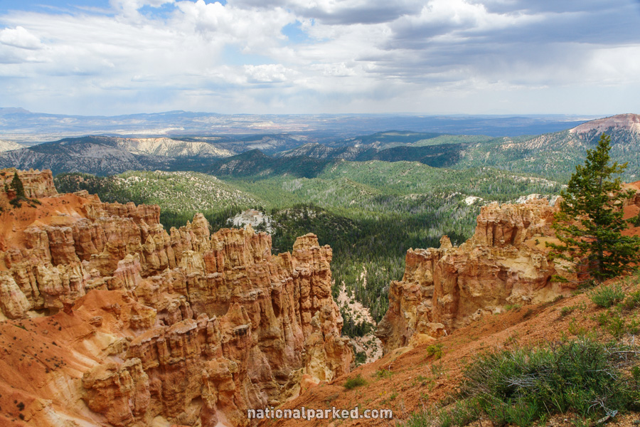
Mile 14.0 – Agua Canyon
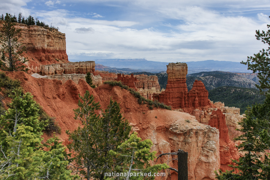
Another small parking area for the Agua Canyon viewpoint is on the left. This is one of the most scenic spots in the upper half of the park.
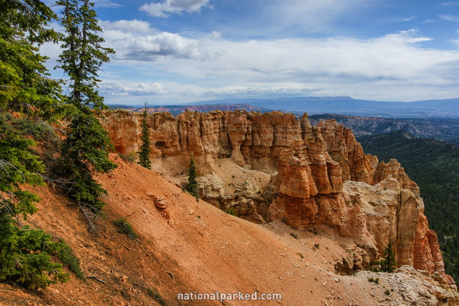
Mile 15.0 – Ponderosa Point
Next is Ponderosa Point, an overlook into the Ponderosa Canyon. Along with the scenery, there is the Agua Canyon Connecting Trail, leading to the Under-the-Rim Trail.
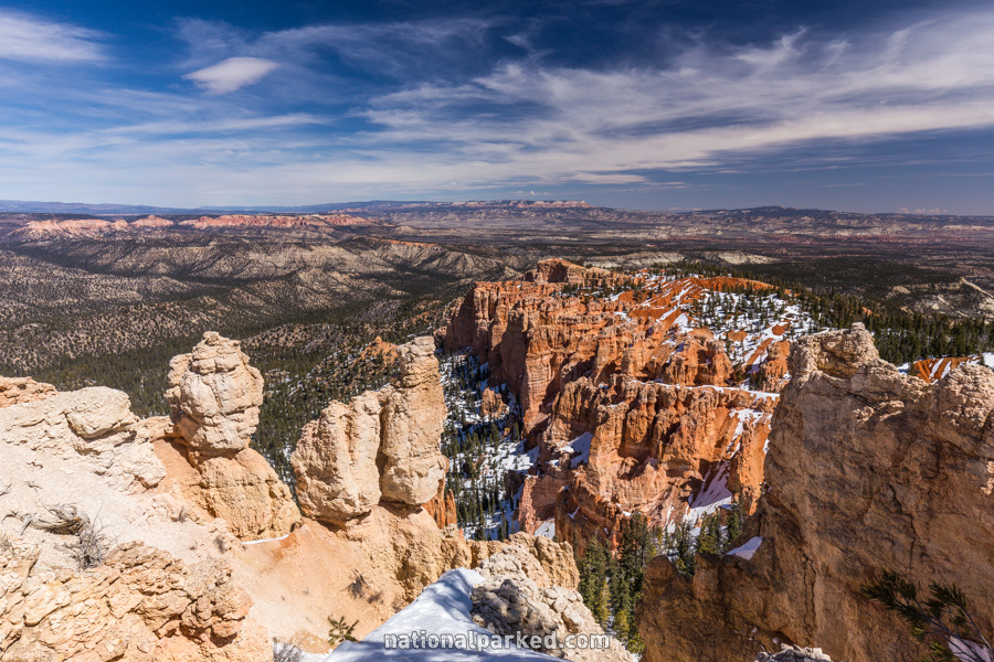
Mile 15.3 – Black Birch Canyon
Yet another viewpoint to the left is here, signed for Black Birch Canyon. Frequently overlooked by visitors, this is one of the more scenic spots in the park.
Mile 17.4 – Rainbow Point
The road ends at the Rainbow Point area, the highest point reached by road in the park at 9,115 feet. A trail heading off to the right from Rainbow Point is the Bristlecone Loop Trail. This short and relatively easy hike leads to an overlook and examples of the bristlecone pine tree, found in only a few places in the western US. These trees can live for thousands of years, often appearing dead to the eye. Another viewpoint, Yovimpa Point, can also be reached off of this loop trail, or from the Rainbow Point parking area.